FavouritesSign inCreate accountAdd my village

The guide to Spain's villages, one municipality at a time.

Your village is waiting for you.

@8000pueblos

Explore

  • Villages
  • Create my route
  • Experiences

Practical guide

  • Guides
  • About us
  • How it works
  • Village comparison
  • Map of Spain
  • Opportunities
  • Living in a village

Join us

  • Create your account
  • For town councils
  • For professionals
  • Contact

© 2026 8000pueblos.com

Some links are affiliate links: if you book, we receive a commission at no cost to you.

SupportPrivacyTermsCookiesLegal notice
en
  • Español
  • English
  • Français
  • Português
  • Italiano
Sign inCreate account
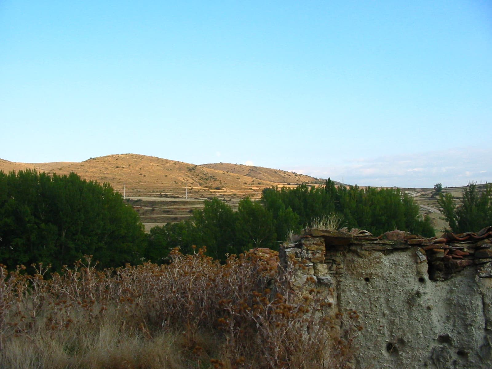
View of AguatónJesus Abizanda · CC BY 2.0

Aguatón

Mountain hamlet

Aguatón is a municipality in the province of Teruel, Aragon, Spain. According to the 2018 census (INE), the municipality had a population of 18 inhabitants.

Text from Wikipedia (CC BY-SA)

Village information

Coat of arms of Aguatón
Province
Teruel
Autonomous community
Aragón
Population (INE 2025)
18
Altitude
1,227 m
Area (IGN)
23.2 km²
Postcode
44382
Demonym
aguatonero
View on the map
  • Overview
  • See and do
  • Events
  • Stay
  • Eat
  • Live here
  • Opportunities
  • Practical info
  • Gallery

Keep exploring

More villages near Aguatón

Surprise me
"Florentina Gimeno Corral, Juan José Girón Ruiz" · CC BY-SA 3.0BueñaTeruel · 5 km away
Juan Carlos Gil · CC BY-SA 3.0 esArgenteTeruel · 6.3 km away
19Tarrestnom65 · CC BY-SA 4.0SingraTeruel · 6.8 km away
Juan Emilio Prades Bel · CC BY 4.0TorrelacárcelTeruel · 8.7 km away
PreviousOverviewBack to homeNextEvents

What to see

3 places to explore Aguatón at your own pace. Each number matches its point on the map.

Ask Poblete for a route

Tell me how much time you have and what you like, and I'll put the places in Aguatón in order so you don't go back and forth.

How much time do you have?
How are you getting around?
What do you like? (you can pick several)

Only with places listed for Aguatón.

My route around Aguatón

Tap “+ Add to my route” on the places you want to see. We'll split what you can do on foot from what's better by car.

Places you can add

  1. 1

    1.

    Iglesia

  2. 2

    2.

    Ermita

  3. 3

    3.

    Cumbre

What to do

We're completing the Aguatón guide village by village.

Places and plans from OpenStreetMap (ODbL): what is mapped within the municipal boundary, by name. If something is missing, it can be added there and will appear here in the next update.

More walks near Aguatón

Routes shared by hikers and waymarked trails, with their map and elevation profile.

See routes on WikilocHiking routes on Google Maps

In and around Aguatón

What there really is in the village and around it, with distances. If an activity isn't on this list, we haven't found it nearby.

  • Horse ridingCentro Ecuestre Santa Eulalia · 13.1 km away, in Santa EulaliaGetting there