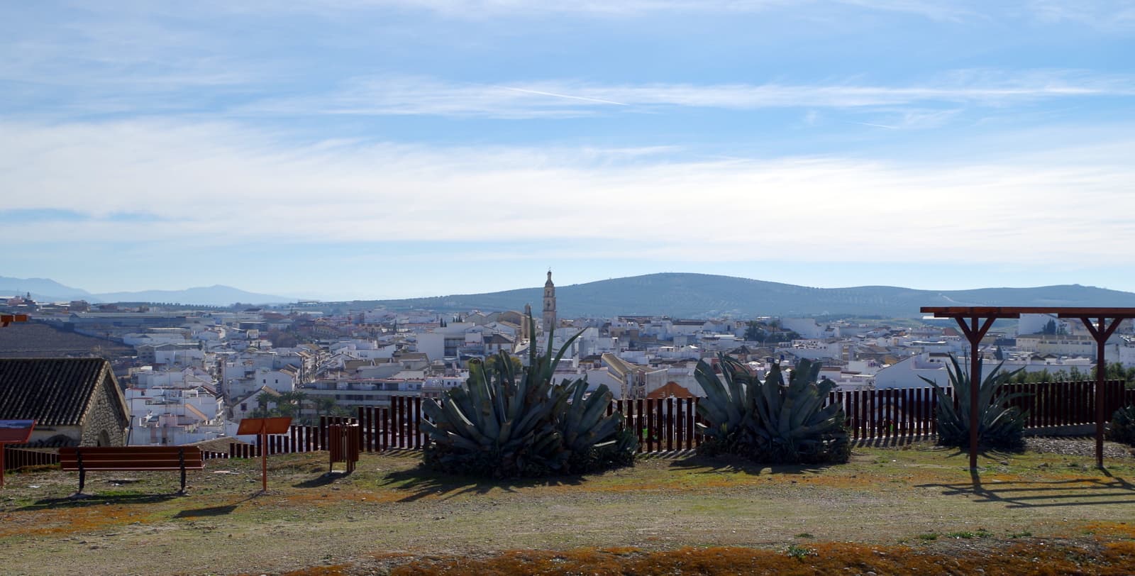
 Rafael Jiménez · CC BY-SA 2.0
Town
Aguilar de la Frontera is a Spanish municipality and town in the province of Córdoba, Andalusia.
Aguilar is located near the river Cabra, in the hilly natural region of the Campiña de Córdoba in between the Guadalquivir and the fringes of the Subbaetic ranges. It lies on the route (A-45) connecting Córdoba and Málaga.
As Ancient Ipagro, it was the seat of a bishopric. Known as Bulay in the Islamic period and possessing a fortress (ḥiṣn) since the 9th century, the place changed its name to Aguilar after capitulating and passing to Christian control in 1240, soon becoming the head of the first nobiliary lordship in Andalusia (thus in the Kingdom of Córdoba), as it was gifted by the monarch in 1257. During the late middle ages, it thrived as the head of the House of Aguilar, under the Fernández de Córdoba. The town's 19th-century octagonal plaza stands out as an instance of neoclassical urbanism.
Demographics are stagnant and, similarly to other municipalities in the area, population does not exceed the one it had in the 1960s.
Text from Wikipedia (CC BY-SA)

The essentials for getting around Aguilar de la Frontera without surprises: how to get there, municipal facts and when it's most worth coming.
Coordinates: 37.5150° N, 4.6561° O
By bus: check the regional bus timetables, they change by season. If you come without a car, confirm the last service back before you leave.
We only list verified numbers. The town hall itself will give you the number of the clinic or the pharmacy.
There are no events in Aguilar de la Frontera's calendar yet, so any month works. Ask us about the local festivals: almost every village has one.
Spring
Fields in bloom and good walking temperatures.
Summer
Hot at midday; festivals tend to cluster in these months.
Autumn
Golden light, mushroom season and fewer visitors.
Winter
Cold and short days. Life gathers in the bar and the square.
Keep exploring

