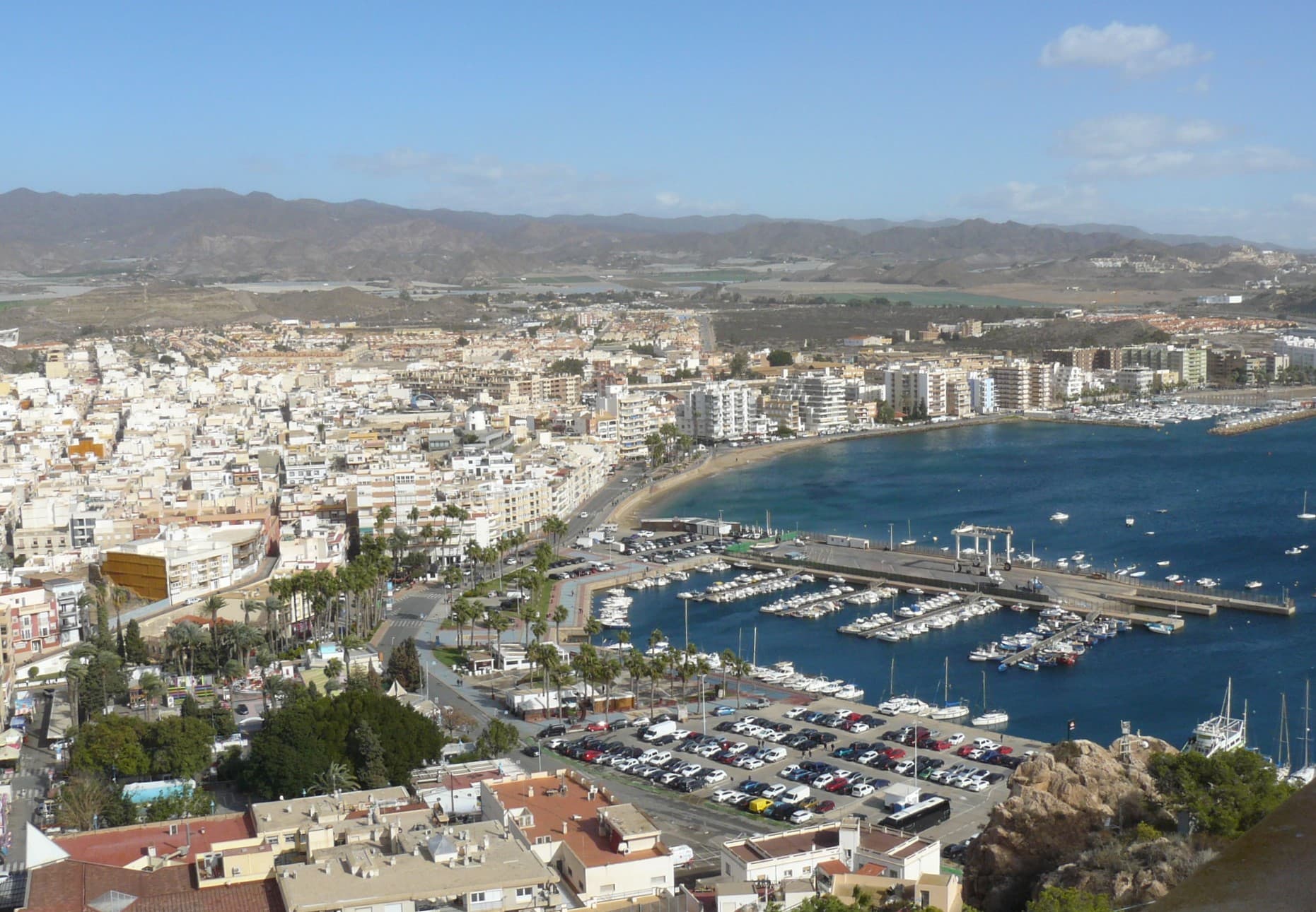
 Zandcee · CC BY-SA 4.0
Coastal town
Águilas is a municipality and seaport of southeastern Spain, in the province of Murcia. It is situated at the southern end of Murcia's Mediterranean coastline, otherwise known as the Costa Cálida, near the border with the Province of Almería.
Text from Wikipedia (CC BY-SA)

Keep exploring
13 places to explore Águilas at your own pace. Each number matches its point on the map.

Tell me how much time you have and what you like, and I'll put the places in Águilas in order so you don't go back and forth.
Tap “+ Add to my route” on the places you want to see. We'll split what you can do on foot from what's better by car.
El castillo de San Juan de las Águilas es una fortificación militar construida en el siglo XVIII que se encuentra situada sobre la actual población de Águilas (Murcia, España). Es bien de interés cultural desde 1982.
CastilloBien de interés cultural

La torre de Cope, también denominada del Santo Cristo, es una torre vigía situada en el término municipal de Águilas (Región de Murcia, España). Se encuentra al norte de cabo Cope, junto a la orilla del mar, dentro de los límites del parque regional de Cabo Cope y Puntas de Calnegre.
Torre de vigilanciaBien de interés cultural

El embarcadero del Hornillo, también conocido como puente del Hornillo, es un antiguo embarcadero de mineral situado en el municipio español de Águilas, en la región de Murcia.
EmbarcaderoBien de interés cultural

El faro de Águilas está situado en la ciudad de Águilas (Murcia), justo al lado del puerto principal de la ciudad en la bahía de Levante y a los pies del castillo de San Juan de las Águilas. Está dentro de la provincia marítima de Cartagena.
Faro

La Pava de la Balsa es una escultura situada dentro de una fuente en la Plaza de España de Águilas, en la Región de Murcia, España. Conocida popularmente como la "Glorieta", y construida en 1874.
Fuente

Ruinas de castilloBien de interés cultural
CastilloBien de interés cultural
Museo
Museo
Yacimiento
Iglesia
Mirador
Mirador
Monuments from Wikidata; summaries from Wikipedia (CC BY-SA) and photos from Wikimedia Commons, credited to their authors.
8 plans to experience Águilas on the move, not just passing through.
2 activities
2 activities
2 activities
2 activities
Places and plans from OpenStreetMap (ODbL): what is mapped within the municipal boundary, by name. If something is missing, it can be added there and will appear here in the next update.
What there really is in the village and around it, with distances. If an activity isn't on this list, we haven't found it nearby.

