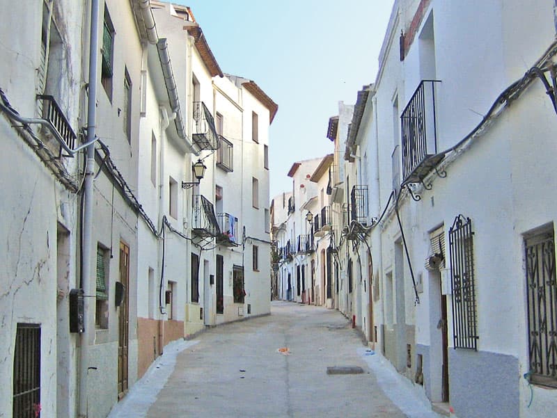
 Espencat · Public domain
Coastal town
Benissa (Valencian:, Spanish: Benisa) is a small town in Spain in the province of Alicante, 275 m above sea level, and one of the oldest towns on the Costa Blanca.
The municipality of Benissa has 4 km of coastline linking the towns of Moraira and Calp. The scenery of the area includes cliff tops, rocky coves, sandy beaches and tiny bays along the Benissa Costa. The territory of Benissa also contains terraced vineyards, mountains and palm trees. Spanish village houses, with doorsteps directly onto the street, internal courtyards and deceptively spacious inside. Old finques (a farm or country estate) sit on large plots amongst vineyards with panoramic views to the sea.
Nearby towns along the Costa Blanca are La Fustera, Cala dels Pinets, Cala de La Llobella, Cala l'Advocat, Baladrar and Cap Blanc before reaching Moraira.
Text from Wikipedia (CC BY-SA)

15 places to stay in Benissa
See places to stay48 restaurants in Benissa
See where to eat8 experiences in Benissa
See experiencesEverything you need for your visit or your day-to-day
Tap a row to see it on the map and how far away it is.
Parks, beaches and places to stay that OpenStreetMap marks as dog-friendly. Many places allow dogs without it being marked: ask when you book.
No data on: street market, care home.
Data from OpenStreetMap (ODbL), extract from October 2026: we count what is mapped within the municipal boundary. "No data" means OpenStreetMap doesn't have it, not that it doesn't exist. Completed with Overture Maps (CDLA-Permissive-2.0): the pharmacies, health centres, petrol stations, banks, cash machines, food shops and schools that OpenStreetMap was missing. Town hall contact details: General Database of Local Entities (Spanish Ministry of Finance); tourist offices: each region's open registry, where it publishes one. Connectivity: Spanish Ministry for Digital Transformation, % of homes covered in June 2025.
Municipal information, services, procedures and grants.
Keep exploring


