 Markus Trienke · CC BY-SA 2.0
Coastal town
Es Castell is a small municipality in eastern Menorca in the Balearic Islands, Spain. The town was founded in 1771 by British Col. Patrick Mackellar and was originally called Georgetown in honour of King George III; however, it takes its current name from the large fort nearby, known to the British as St. Philip's Castle. Col. Patrick MacKellar (Argyllshire 1717-1778) was the chief engineer of Menorca and his house today is known as Son Granot. Es Castell celebrates its Foundation Day on 1 June with 18th-century themed festivities, in which the Municipality itself, St. Philip's Castle Foundation, Son Granot and other institutions participate.
Text from Wikipedia (CC BY-SA)

Keep exploring
11 places to explore Es Castell at your own pace. Each number matches its point on the map.

Tell me how much time you have and what you like, and I'll put the places in Es Castell in order so you don't go back and forth.
Tap “+ Add to my route” on the places you want to see. We'll split what you can do on foot from what's better by car.
El castillo de San Felipe de Menorca es una antigua fortificación española del siglo XVI situada en la orilla meridional de la boca del puerto de Mahón, en el municipio de Villacarlos. Es una de las primeras fortificaciones de estilo abaluartado construidas en España.
CastilloBien de interés cultural

El Fuerte de Marlborough es una edificación auxiliar que fue construida por ingenieros militares británicos en la roca a principios del siglo XVIII. Está situado en la zona sur del puerto de Mahón, concretamente en la cala de san Esteban (Villacarlos).
FuerteBien de interés cultural
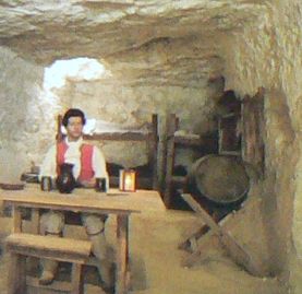
La torre de defensa costera d'En Penjat es una torre de tipo Martello construida sobre la colina del Turco al lado del Fuerte de Marlborough en la cala de San Esteban. Fue construida por los ingleses en el año 1789.
Torre fortificadaBien de interés cultural

TalayotBien de interés cultural

Casa fortificadaBien de interés cultural

Museo
Iglesia
Iglesia
Faro
Yacimiento
Mirador
Monuments from Wikidata; summaries from Wikipedia (CC BY-SA) and photos from Wikimedia Commons, credited to their authors.
5 plans to experience Es Castell on the move, not just passing through.
2 activities
1 activity
2 activities
Places and plans from OpenStreetMap (ODbL): what is mapped within the municipal boundary, by name. If something is missing, it can be added there and will appear here in the next update.
What there really is in the village and around it, with distances. If an activity isn't on this list, we haven't found it nearby.

