FavouritesSign inCreate accountAdd my village

The guide to Spain's villages, one municipality at a time.

Your village is waiting for you.

@8000pueblos

Explore

  • Villages
  • Create my route
  • Experiences

Practical guide

  • Guides
  • About us
  • How it works
  • Village comparison
  • Map of Spain
  • Opportunities
  • Living in a village

Join us

  • Create your account
  • For town councils
  • For professionals
  • Contact

© 2026 8000pueblos.com

Some links are affiliate links: if you book, we receive a commission at no cost to you.

SupportPrivacyTermsCookiesLegal notice
en
  • Español
  • English
  • Français
  • Português
  • Italiano
Sign inCreate account
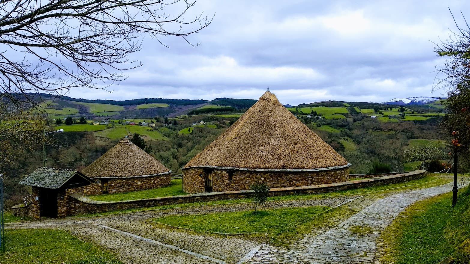
View of CervantesO Breixo · CC BY-SA 4.0

Cervantes

Village

Cervantes is a municipality in the province of Lugo, in the autonomous community of Galicia, Spain. It belongs to the comarca of Os Ancares.

Read moreRead less

It had a population of 1,209 in 2023, and has an area of 277.63 square kilometres. Its highest point is Mustellar (1924 m), in the Ancares mountains.

Until the second half of the 20th century, this part of Spain was isolated. Many settlements had no road access or electricity and were cut off by snow in winter. Communities were small and self-sufficient. This way of life is shown in the small museum at Piornedo which is located in a preserved palloza.

The main economic activities in 2006 were agriculture, forestry and tourism.

Text from Wikipedia (CC BY-SA)

Village information

Coat of arms of Cervantes
Province
Lugo
Autonomous community
Galicia
Population (INE 2025)
1,142
Altitude
648 m
Area (IGN)
275 km²
Postcode
27664
View on the map
  • Overview
  • See and do
  • Events
  • Stay
  • Eat
  • Live here
  • Opportunities
  • Practical info
  • Gallery

Keep exploring

More villages near Cervantes

Surprise me
Elisardojm · CC BY-SA 4.0As NogaisLugo · 7.8 km away
Estevoaei · CC BY-SA 4.0BecerreáLugo · 8.5 km away
Vicente Maza Gómez · CC BY-SA 3.0Navia de SuarnaLugo · 12 km away
Menkaura · CC BY-SA 4.0BarallaLugo · 16 km away

Where to sleep in Cervantes

10 registered places to stay

See places to stay
PreviousOverviewBack to homeNextEvents

What to see

10 places to explore Cervantes at your own pace. Each number matches its point on the map.

Ask Poblete for a route

Tell me how much time you have and what you like, and I'll put the places in Cervantes in order so you don't go back and forth.

How much time do you have?
How are you getting around?
What do you like? (you can pick several)

Only with places listed for Cervantes.

My route around Cervantes

Tap “+ Add to my route” on the places you want to see. We'll split what you can do on foot from what's better by car.

Places you can add

  1. 1

    1.

    El castillo de Doiras (en gallego: castelo de Doiras) es una fortificación medieval ubicada en la parroquia de Vilarello del municipio lucense de Cervantes, Galicia, España. Está situado en una colina en el margen del río Cancelada.

    CastilloBien de interés cultural

    Castillo de Doiras
    SanchoPanzaXXI · CC BY-SA 3.0
  2. 2

    2.

    Castro, del siglo I.

    CastroBien de interés cultural

    Castro de Santa María de Cervantes
    Adrián Estévez ( Estevoaei ) · CC BY-SA 4.0
  3. 3

    3.

    Castillo

  4. 4

    4.

    Museo

  5. 5

    5.

    Museo

  6. 6

    6.

    Yacimiento

  7. 7

    7.

    Yacimiento

  8. 8

    8.

    Yacimiento

  9. 9

    9.

    Yacimiento

  10. 10

    10.

    Yacimiento

Monuments from Wikidata; summaries from Wikipedia (CC BY-SA) and photos from Wikimedia Commons, credited to their authors.

What to do

4 plans to experience Cervantes on the move, not just passing through.

Natural areas

1 activity

Reserva de la Biosfera de los Ancares Leoneses

Getting there

Hiking

1 activity

Hiking: PR-G 164 · Sendero Quintá-Río Donsal

More routes on WikilocHiking routes on Google Maps

Bike

2 activities

Cycling route: A Pintinidoira * As Nogais

Cycling route: A Pintinidoira * Vilanova

Cycling routes on Google Maps

Places and plans from OpenStreetMap (ODbL): what is mapped within the municipal boundary, by name. If something is missing, it can be added there and will appear here in the next update.