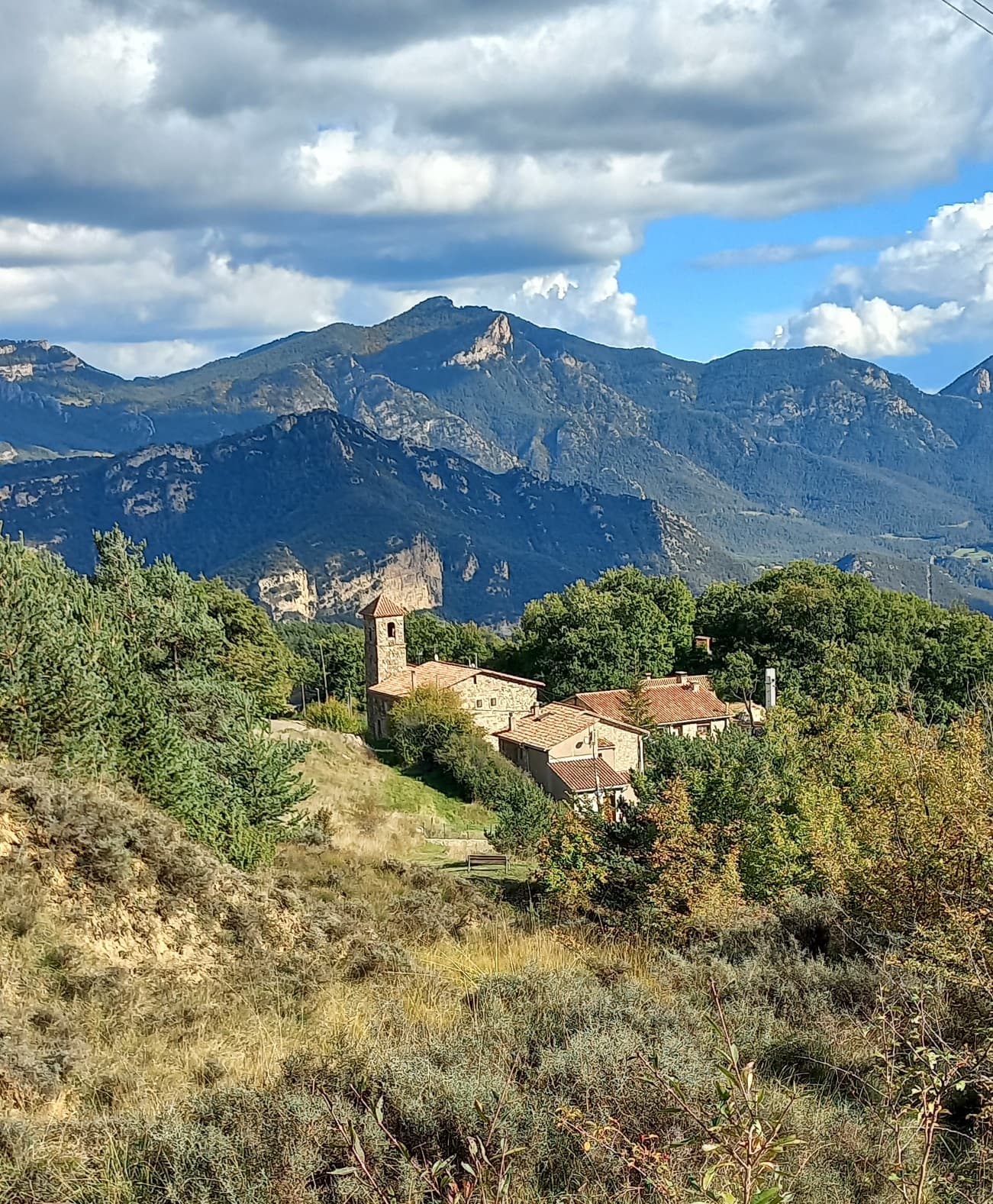
 Masquer11 · CC BY-SA 4.0
Mountain hamlet
Fígols is a municipality in the comarca of the Berguedà in
Catalonia, Spain. It is situated to the north of Cercs, in the mountains above the Llobregat valley.
Deposits of lignite are extracted commercially.
Nearby is the Cercs Mine Museum.
The guerrilla leader Ramon Vila Capdevila - last of the Spanish Maquis, who held out from the end of the Spanish Civil War until being killed in 1963 - is buried in Fígols. On 15 July 2000, a plaque was placed at the burial site of Vila which reads
Here lie the remains of Ramon Vila Capdevila. Militant of the CNT and the last of the Catalan anarchist maquis, he was involved in the proclamation of libertarian communism (1932), the civil war (1936-39), and the French Resistance (1939-45) and, for a further 18 years, the fight against Francoism. In memory of him and of all who gave their lives for freedom and the anarchist ideal.
Text from Wikipedia (CC BY-SA)

Keep exploring
11 places to explore Fígols at your own pace. Each number matches its point on the map.

Tell me how much time you have and what you like, and I'll put the places in Fígols in order so you don't go back and forth.
Tap “+ Add to my route” on the places you want to see. We'll split what you can do on foot from what's better by car.
El Castillo de Peguera es un castillo fronterizo documentado el 1098 del municipio de Fígols (Bergadá). Es una obra declarada Bien Cultural de Interés Nacional .
Ruinas de castilloBien de interés cultural

Iglesia de estilo románica.
IglesiaBien cultural parte del patrimonio cultural de Cataluña

Iglesia de estilo popular.
IglesiaBien cultural parte del patrimonio cultural de Cataluña

Iglesia de estilo románica.
IglesiaBien cultural parte del patrimonio cultural de Cataluña

Museo
Cueva
Cueva
Cueva
Cueva
Monumento
Ermita
Monuments from Wikidata; summaries from Wikipedia (CC BY-SA) and photos from Wikimedia Commons, credited to their authors.
7 plans to experience Fígols on the move, not just passing through.
3 activities
2 activities
2 activities
Places and plans from OpenStreetMap (ODbL): what is mapped within the municipal boundary, by name. If something is missing, it can be added there and will appear here in the next update.
What there really is in the village and around it, with distances. If an activity isn't on this list, we haven't found it nearby.

