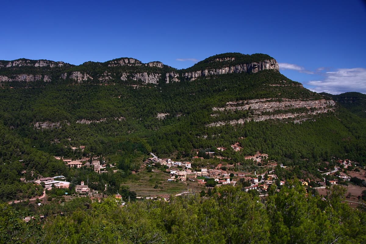
 Amadalvarez · CC BY-SA 3.0
Mountain village
Gallifa is a municipality in the comarca of the Vallès Occidental in Catalonia, north-eastern Spain. It contains the Castle of Gallifa and was the location of the studio of ceramic artist Josep Llorens i Artigas and his son.
Text from Wikipedia (CC BY-SA)

Keep exploring
13 places to explore Gallifa at your own pace. Each number matches its point on the map.

Tell me how much time you have and what you like, and I'll put the places in Gallifa in order so you don't go back and forth.
Tap “+ Add to my route” on the places you want to see. We'll split what you can do on foot from what's better by car.
El castillo de Gallifa, es una pequeña fortificación que fue el centro histórico y jurisdiccional del término en la Edad Media y que se encuentra en la llanura que acoge la actual población de Gallifa.
IglesiaBien de interés cultural

La ermita de San Sadurní de la Roca es un templo románico del municipio de Gallifa, en el Vallés Occidental.
IglesiaBien cultural parte del patrimonio cultural de Cataluña

La iglesia de Santa María del Castillo es un edificio románico del siglo XI, está construida en el punto más alto del interior del castillo de Gallifa y está documentada en el 1060.
Iglesia
Casa rectoral de estilo popular, del siglo XVIII.
Casa rectoralBien cultural parte del patrimonio cultural de Cataluña

Iglesia de estilo románica, del siglo XI.
IglesiaBien cultural parte del patrimonio cultural de Cataluña

MasíaBien cultural parte del patrimonio cultural de Cataluña

Casa de estilo popular.
CasaBien cultural parte del patrimonio cultural de Cataluña
Masía de estilo popular.
MasíaBien cultural parte del patrimonio cultural de Cataluña
Masía de estilo popular.
MasíaBien cultural parte del patrimonio cultural de Cataluña
Iglesia de estilo románica.
IglesiaBien Cultural de Interés Local
Cumbre
Cumbre
Cumbre
Monuments from Wikidata; summaries from Wikipedia (CC BY-SA) and photos from Wikimedia Commons, credited to their authors.
3 plans to experience Gallifa on the move, not just passing through.
3 activities
Places and plans from OpenStreetMap (ODbL): what is mapped within the municipal boundary, by name. If something is missing, it can be added there and will appear here in the next update.
What there really is in the village and around it, with distances. If an activity isn't on this list, we haven't found it nearby.

