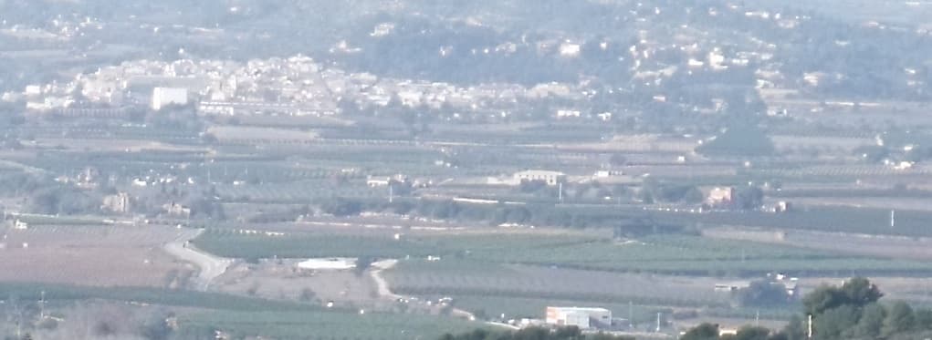
 B25es · CC BY-SA 3.0
Village
Godelleta is a municipality in the comarca of Hoya de Buñol in the Valencian Community, Spain.
Text from Wikipedia (CC BY-SA)

Keep exploring
24 places to explore Godelleta at your own pace. Each number matches its point on the map.

Tell me how much time you have and what you like, and I'll put the places in Godelleta in order so you don't go back and forth.
Tap “+ Add to my route” on the places you want to see. We'll split what you can do on foot from what's better by car.
La Torre de Godelleta se encuentra en el núcleo urbano, en la plaza de la Iglesia, en el municipio del mismo nombre, en la comarca de La Hoya de Buñol de la provincia de Valencia.
TorreBien de interés cultural

La torre de telegrafía óptica de Godelleta es un bien de interés cultural que se encuentra en el citado municipio de la provincia de Valencia.
Torre de telegrafía ópticaBien de interés cultural

BodegaBien inmueble de Etnología

Fuente, del siglo XX.
FuenteBien inmueble de Etnología

Iglesia de estilo neoclásica, del siglo XIX.
IglesiaBien de Relevancia Local

AbrevaderoBien inmueble de Etnología
AcueductoBien inmueble de Etnología
AcueductoBien inmueble de Etnología
AzudBien inmueble de Etnología
AzudBien inmueble de Etnología
AzudBien inmueble de Etnología
Balsa de aguaBien inmueble de Etnología
Balsa de aguaBien inmueble de Etnología
Balsa de aguaBien inmueble de Etnología
Balsa de aguaBien inmueble de Etnología
Cementerio, del siglo XX.
CementerioBien inmueble de Etnología
FuenteBien inmueble de Etnología
Fuente, del siglo XX.
FuenteBien inmueble de Etnología
Lavadero, del siglo XX.
LavaderoBien inmueble de Etnología
Viaje de aguaBien inmueble de Etnología
Puente, del siglo XX.
PuenteBien inmueble de Etnología
Retablo cerámicoBien de Relevancia Local
SifónBien inmueble de Etnología
SifónBien inmueble de Etnología
Monuments from Wikidata; summaries from Wikipedia (CC BY-SA) and photos from Wikimedia Commons, credited to their authors.
2 plans to experience Godelleta on the move, not just passing through.
2 activities
Places and plans from OpenStreetMap (ODbL): what is mapped within the municipal boundary, by name. If something is missing, it can be added there and will appear here in the next update.
Routes shared by hikers and waymarked trails, with their map and elevation profile.
What there really is in the village and around it, with distances. If an activity isn't on this list, we haven't found it nearby.

