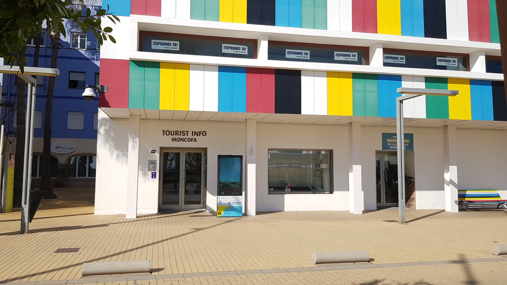
 Elgaard · CC BY-SA 4.0
Coastal town
Moncofa (in valencian and officially, in Spanish Moncófar) is a municipality of the Province of Castellón in the Valencian Community, Spain.
Text from Wikipedia (CC BY-SA)

Keep exploring
11 places to explore Moncofa at your own pace. Each number matches its point on the map.

Tell me how much time you have and what you like, and I'll put the places in Moncofa in order so you don't go back and forth.
Tap “+ Add to my route” on the places you want to see. We'll split what you can do on foot from what's better by car.
Los restos de la Torre Santa Isabel de Carrillo o Nova', conocida también como Torre de Moncofa, Torre Forçada, Torre Caída o Torre Beniesma, son los restos de una torre defensiva sita en la conocida como playa Beniesma ubicada al sur del Grao del municipio español de Moncófar, Plana Baja, en la…
Torre de vigilanciaBien de interés cultural

La ermita de la Magdalena, conocida también como ermita de Santa Magdalena, ubicada junto a la Avd Port del Grau de Moncófar, a unos 400 metros de la playa, es un lugar de culto católico situado en Moncófar, Plana Baja, catalogado como Bien de Relevancia Local según la Disposición Adicional…
ErmitaBien de Relevancia Local

La iglesia parroquial de Santa Magdalena es un templo católico de Moncófar, Plana Baja, en la provincia de Castellón, España.
IglesiaBien de Relevancia Local

Muralla urbanaBien de interés cultural

CapillaBien inmueble de Etnología

Fuente de agua potable, del siglo XX.
Fuente de agua potableBien inmueble de Etnología

Retablo cerámico, del siglo XX.
Retablo cerámicoBien inmueble de Etnología

Retablo cerámico, del siglo XX.
Retablo cerámicoBien inmueble de Etnología

Balsa de riegoBien inmueble de Etnología
MasíaBien inmueble de Etnología
Monumento
Monuments from Wikidata; summaries from Wikipedia (CC BY-SA) and photos from Wikimedia Commons, credited to their authors.
5 plans to experience Moncofa on the move, not just passing through.
1 activity
2 activities
2 activities
Places and plans from OpenStreetMap (ODbL): what is mapped within the municipal boundary, by name. If something is missing, it can be added there and will appear here in the next update.
Routes shared by hikers and waymarked trails, with their map and elevation profile.
What there really is in the village and around it, with distances. If an activity isn't on this list, we haven't found it nearby.

