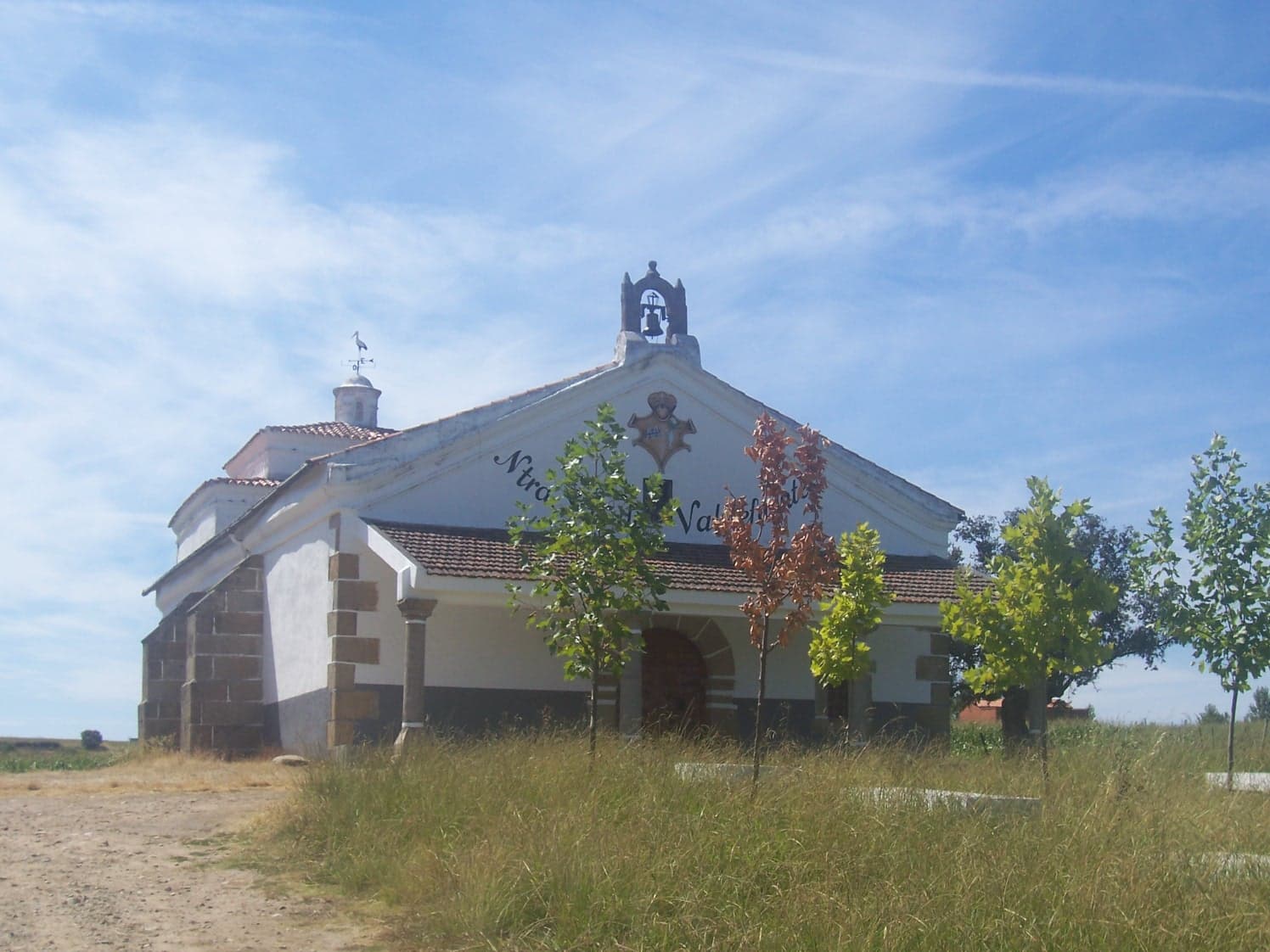
 Montehermoso-spain · Public domain
Mountain village
Montehermoso is a municipality located in the province of Cáceres, Extremadura, Spain. According to the 2006 census (INE), the municipality has a population of 5668 inhabitants.
Text from Wikipedia (CC BY-SA)

Keep exploring
11 places to explore Montehermoso at your own pace. Each number matches its point on the map.

Tell me how much time you have and what you like, and I'll put the places in Montehermoso in order so you don't go back and forth.
Tap “+ Add to my route” on the places you want to see. We'll split what you can do on foot from what's better by car.
La iglesia parroquial de Nuestra Señora de la Asunción es el templo central de Montehermoso.
IglesiaBien de interés cultural

La ermita de San Antonio es una ermita situada al norte de Montehermoso. Originalmente fue construida a las afueras, entre viñas, ya que se sabe que hasta el siglo XX no se construyeron casas junto a la ermita.
Ermita

La ermita de San Bartolomé y San Blas es una ermita situada al sur de Montehermoso, en lo alto de una barrera conocida como Cuesta de San Bartolomé o calle San Bartolomé, en el barrio de las Casas Baratas.
Ermita

La ermita de San Sebastián es una ermita situada al oeste de Montehermoso, en la calle Maestro don Millán, junto al IES Gabriel y Galán y el Parque Municipal Príncipe Felipe.
Ermita

La ermita del Cristo es una ermita situada al sureste de Montehermoso, en la calle Real, cerca de la carretera de Plasencia, en España. Cuando se construyó era el límite sureste de Montehermoso, el que señalaba la entrada al pueblo.
Ermita

Museo
Yacimiento
Yacimiento
Yacimiento
Ermita
Ermita
Monuments from Wikidata; summaries from Wikipedia (CC BY-SA) and photos from Wikimedia Commons, credited to their authors.
We're completing the Montehermoso guide village by village.
Places and plans from OpenStreetMap (ODbL): what is mapped within the municipal boundary, by name. If something is missing, it can be added there and will appear here in the next update.
Routes shared by hikers and waymarked trails, with their map and elevation profile.
What there really is in the village and around it, with distances. If an activity isn't on this list, we haven't found it nearby.

