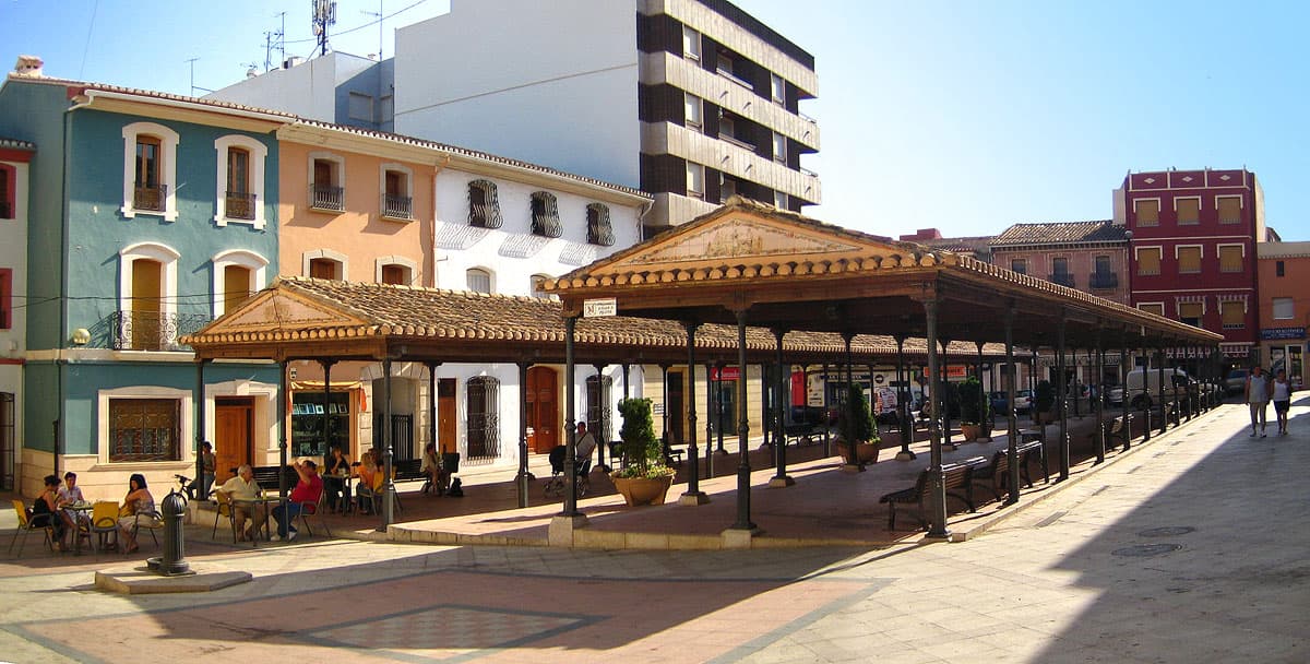
 Espencat · Public domain
Town
Pedreguer is a town and municipality in the comarca of Marina Alta in the province of Alicante, Spain. The town is situated at the foot of the Muntanya Gran and close to the two larger coastal towns of Dénia and Xàbia. It has a population of 7097 (as of 2008). It is also close to the Jalon Valley which is famous for its springtime almond tree blossom.
Pedreguer Rastro is a sort of flea market in the town. Sunday morning is flea market day. Held on the polygons where people flock from all over the Costa Blanca to buy and sell produce, clothing, gifts, home made jams, chutneys and much more.
On Saturday mornings there is a farmers market held in the town.
The main high street has a church, police station, and town hall.
A Sports centre is located on the polygons with an outdoor swimming pool and other sports facilities.
La Sella resort comes under Pedreguer town which has a golf course, tennis club and local bars and restaurants.
Fiestas in Pedreguer include bull runs to firework displays.
Local beaches include Denia, El Verger, Els Poblets and Oliva.
Text from Wikipedia (CC BY-SA)

The essentials for getting around Pedreguer without surprises: how to get there, municipal facts and when it's most worth coming.
Coordinates: 38.7939° N, 0.0346° E
By bus: check the regional bus timetables, they change by season. If you come without a car, confirm the last service back before you leave.
We only list verified numbers. The town hall itself will give you the number of the clinic or the pharmacy.
There are no events in Pedreguer's calendar yet, so any month works. Ask us about the local festivals: almost every village has one.
Spring
Fields in bloom and good walking temperatures.
Summer
Hot at midday; festivals tend to cluster in these months.
Autumn
Golden light, mushroom season and fewer visitors.
Winter
Cold and short days. Life gathers in the bar and the square.
Keep exploring

