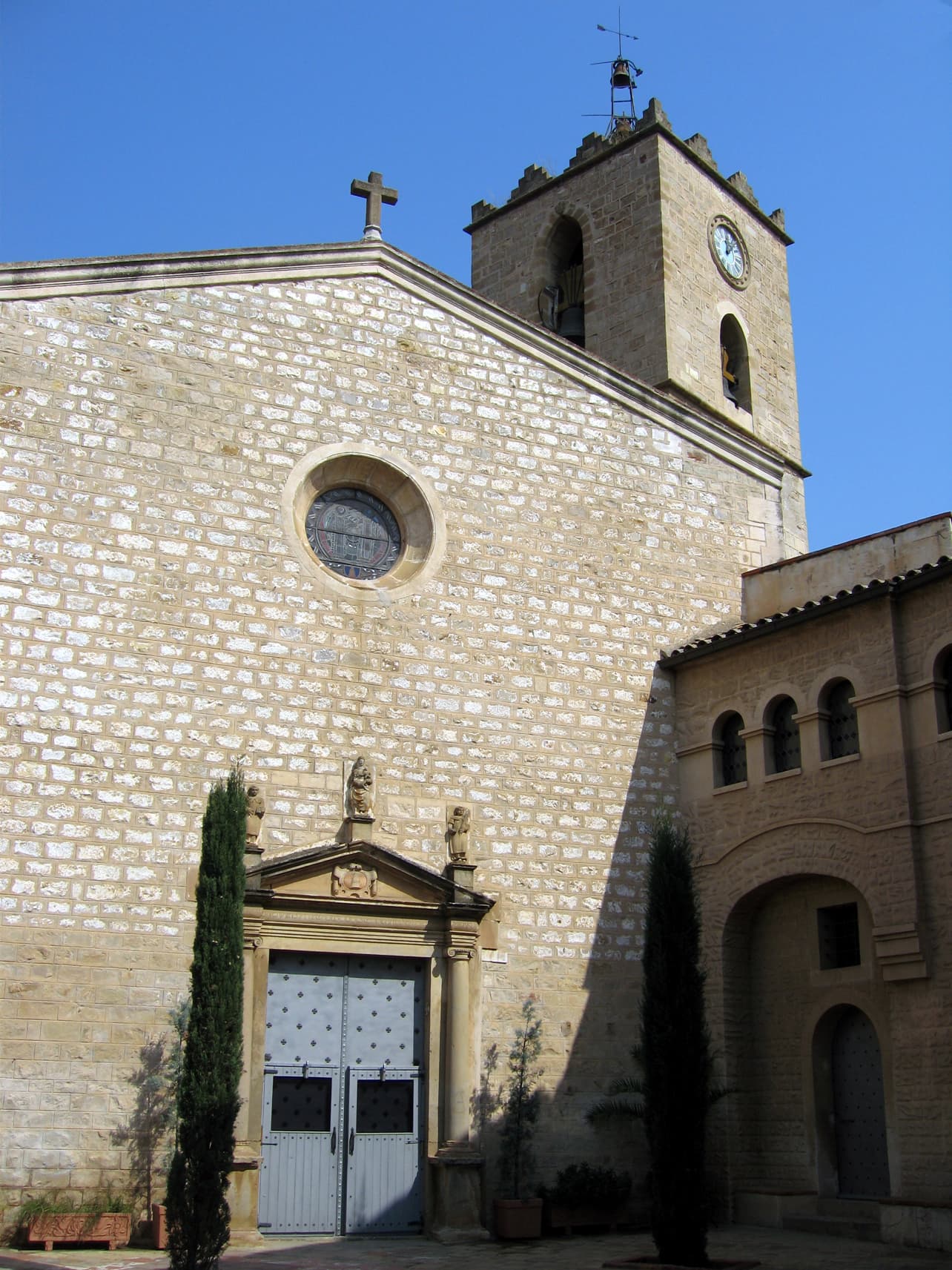
 Till F. Teenck · CC BY-SA 2.5
Town
Sant Just Desvern is a town near Barcelona, in the comarca of the Baix Llobregat, Catalonia, Spain.
Sant Just Desvern is located in the 2,078317º of longitude and 41,381611º of latitude.
It is situated at 122 m (average) above sea level. The maximum height is located at 405 meters above sea level, almost in the top of Turó de Merlès (416.7 m), and the lowest spot of this town is about 40 meters, located at the park of Torreblanca.
The surface of the town is about 7.8 km2. The town has 35 km of streets. It has good connections to arrive to N-340, the highway A-2 and Rondes de Dalt and Litoral.
In the first division of comarcal, Sant Just Desvern was included in Barcelonès (1936). But in the comarcal revision in 1987, along with Esplugues de Llobregat, they became part of Baix Llobregat.
The municipality borders are Sant Joan Despí to the southwest, Esplugues de Llobregat to the east and Sant Feliu de Llobregat to the northeast. Barcelona is almost in the border line.
The first mention of the town in a document dates back to the year 965. Its coat of arms depicts a blue bell inside a golden rhombus.
The local city council uses the slogan pobleiciutat (Catalan for 'townandcity').
Sant Just Desvern is home to several celebrities including players for the F.C. Barcelona football club and politicians including the ex-president of the Generalitat de Catalunya, José Montilla.
Text from Wikipedia (CC BY-SA)

3 places to stay in Sant Just Desvern
See places to stay22 restaurants in Sant Just Desvern
See where to eat7 experiences in Sant Just Desvern
See experiencesEverything you need for your visit or your day-to-day
Tap a row to see it on the map and how far away it is.
Parks, beaches and places to stay that OpenStreetMap marks as dog-friendly. Many places allow dogs without it being marked: ask when you book.
No data on: tourist office, train station, ATMs, motorhomes, street market, pool, care home.
Data from OpenStreetMap (ODbL), extract from October 2026: we count what is mapped within the municipal boundary. "No data" means OpenStreetMap doesn't have it, not that it doesn't exist. Completed with Overture Maps (CDLA-Permissive-2.0): the pharmacies, health centres, petrol stations, banks, cash machines, food shops and schools that OpenStreetMap was missing. Town hall contact details: General Database of Local Entities (Spanish Ministry of Finance); tourist offices: each region's open registry, where it publishes one. Connectivity: Spanish Ministry for Digital Transformation, % of homes covered in June 2025.
Municipal information, services, procedures and grants.
Keep exploring


