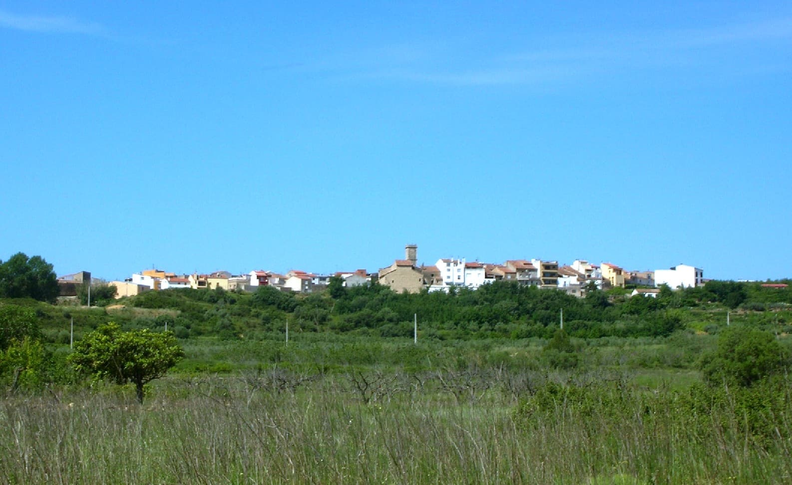
 Xufanc · CC BY-SA 3.0
Village
La Torre d'en Doménec or La Torre dels Domenges (Spanish: Torre Endoménech) is a small municipality in the province of Castelló, Valencian Community, Spain. The town is located inland close to the mountain range known as Serra d'en Galceran that protects the town from the strong northern and eastern wind from the ocean.
La Torre d'en Doménec is located about 40 km north of the town of Castelló de la Plana, on the north of the Valencian Community. Historically it used to depend from Les Coves de Vinromà and from the year 1319 onwards it was under the protection of the Knights of Montesa. Until the 19th century La Torre d'en Doménec depended from neighboring Vilanova d'Alcolea parish.
Text from Wikipedia (CC BY-SA)

Keep exploring
6 places to explore La Torre d'en Doménec at your own pace. Each number matches its point on the map.

Tell me how much time you have and what you like, and I'll put the places in La Torre d'en Doménec in order so you don't go back and forth.
Tap “+ Add to my route” on the places you want to see. We'll split what you can do on foot from what's better by car.
La ermita de Virgen María de la Fuente es un templo católico situado en la calle de la Fuente de Torre Endoménech y que cuenta con una espadaña en el tejado. Está formada por un arco con molduras en los laterales y para rematarla una cruz.
ErmitaBien de Relevancia Local

La iglesia parroquial de Santa Quiteria de Torre Endoménech, en la comarca de la Plana Alta, es un lugar de culto católico catalogado Bien de Relevancia Local según la Disposición Adicional Quinta de la Ley 5/2007, de 9 de febrero, de la Generalitat, de modificación de la Ley 4/1998, de 11 de…
Iglesia parroquialBien de Relevancia Local

Retablo cerámicoBien de Relevancia Local
Retablo cerámicoBien de Relevancia Local
Mirador
Monumento
Monuments from Wikidata; summaries from Wikipedia (CC BY-SA) and photos from Wikimedia Commons, credited to their authors.
One plan to experience La Torre d'en Doménec on the move, not just passing through.
1 activity
Places and plans from OpenStreetMap (ODbL): what is mapped within the municipal boundary, by name. If something is missing, it can be added there and will appear here in the next update.
Routes shared by hikers and waymarked trails, with their map and elevation profile.
What there really is in the village and around it, with distances. If an activity isn't on this list, we haven't found it nearby.

