 Xilacopedia · CC BY 3.0
Hamlet
Villahermosa del Campo is a municipality located at the feet of the Sierra de Cucalón, in the province of Teruel, Aragon, Spain. According to the 2004 census (INE), the municipality has a population of 97 inhabitants.
There are ruins of ancient Iberian settlements located within Villahermosa's municipal term. These are known as Castillo de Nogueras and Castillo de Santa Catalina.
It is located at the western end of the Sierra de Cucalón area.
Text from Wikipedia (CC BY-SA)

Keep exploring
3 places to explore Villahermosa del Campo at your own pace. Each number matches its point on the map.

Tell me how much time you have and what you like, and I'll put the places in Villahermosa del Campo in order so you don't go back and forth.
Tap “+ Add to my route” on the places you want to see. We'll split what you can do on foot from what's better by car.
La iglesia de Santa María Magdalena es un templo católico situado en la localidad aragonesa de Villahermosa del Campo (España). En 2004 fue declarado Bien Catalogado.
IglesiaBien Catalogado del Patrimonio Cultural Aragonés

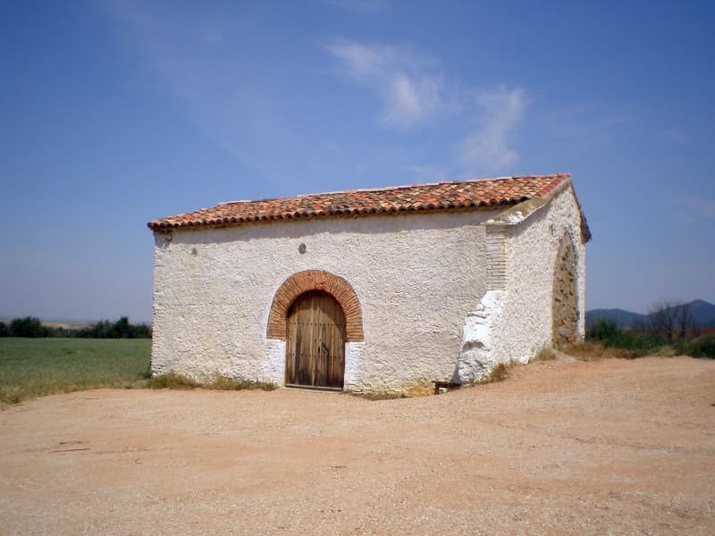
Ermita
Cumbre
Monuments from Wikidata; summaries from Wikipedia (CC BY-SA) and photos from Wikimedia Commons, credited to their authors.
One plan to experience Villahermosa del Campo on the move, not just passing through.
1 activity
Places and plans from OpenStreetMap (ODbL): what is mapped within the municipal boundary, by name. If something is missing, it can be added there and will appear here in the next update.
Routes shared by hikers and waymarked trails, with their map and elevation profile.
What there really is in the village and around it, with distances. If an activity isn't on this list, we haven't found it nearby.

