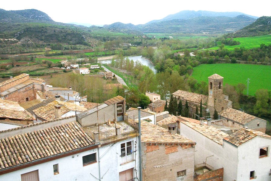
 Jordi D. A. from Barcelona, Catalan Lands · CC BY-SA 2.0
Village
Alòs de Balaguer is a municipality in the comarca of Noguera, in the province of Lleida, Catalonia, Spain.
Alòs de Balaguer has a very scant population of 118 (register office, 2025). With such a small population, there is an average of 2.2 people per km2 and only 5.8 people per square mile. With only one vineyard, one restaurant and the Rio Segre river nearby. The Riu Segre is up to 50+ feet deep in some spots in the middle of the river.
In Alos de Balaguer, in the Segre sector, the watercourse leaves the normal north–south direction from the South Pyrenean river and heads towards the towns and bridges of Camarasa.
The river runs through, firstly, a sector composed of tertiary sediments. This comprises the northern margin of the Central Catalan Depression to be introduced later in the Pyrenees mountains. Outside through the narrow and deep gorge (Gorge wall) on the basis of Alos de Balaguer, it then goes back to the depression of the Ebro. From Ebro, it then stretches to Camarasa-Balaguer.
Text from Wikipedia (CC BY-SA)
The essentials for getting around Alòs de Balaguer without surprises: how to get there, municipal facts and when it's most worth coming.
Coordinates: 41.9119° N, 0.9600° E
By bus: check the regional bus timetables, they change by season. If you come without a car, confirm the last service back before you leave.
We only list verified numbers. The town hall itself will give you the number of the clinic or the pharmacy.
There are no events in Alòs de Balaguer's calendar yet, so any month works. Ask us about the local festivals: almost every village has one.
Spring
Fields in bloom and good walking temperatures.
Summer
Hot at midday; festivals tend to cluster in these months.
Autumn
Golden light, mushroom season and fewer visitors.
Winter
Cold and short days. Life gathers in the bar and the square.
Keep exploring

