 Padin 16:19, 20 xullo 2007 (UTC) · CC BY-SA 3.0
Coastal town
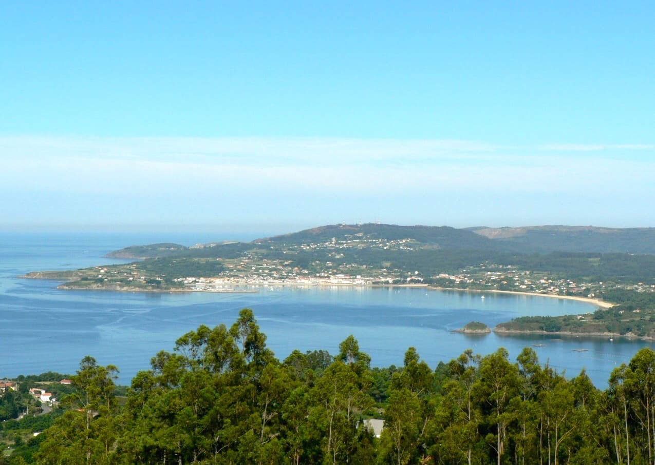
Ares is a municipality in the autonomous community of Galicia in the province of A Coruña in northwestern Spain. It is located in the comarca of Ferrol. It spans the coastal strip running from the entrance of the estuary of the Ferrol river to the port of Redes.
The town of Ares is situated on the shore of a beautiful inlet, surrounded by beaches that stretch for almost three kilometers of coastline with calm waters.
The most well-known beaches in Ares are A Rampa, O Cruceiro/A Xunqueira, Redes, Seselle, O Raso, Sabadelle, Río Sandeu, and Chanteiro. There are also some very pretty coves like Estacas and Centeás, now with steps, and many other secluded coves that are difficult to access.
Text from Wikipedia (CC BY-SA)

Foto: Xosema (CC BY-SA 4.0)
8 places to stay in Ares
See places to stay14 restaurants in Ares
See where to eat8 experiences in Ares
See experiencesEverything you need for your visit or your day-to-day
Tap a row to see it on the map and how far away it is.
O Raso· Campsite
Parks, beaches and places to stay that OpenStreetMap marks as dog-friendly. Many places allow dogs without it being marked: ask when you book.
No data on: train station, petrol stations, post office, motorhomes, street market, secondary school, pool, care home.
Data from OpenStreetMap (ODbL), extract from October 2026: we count what is mapped within the municipal boundary. "No data" means OpenStreetMap doesn't have it, not that it doesn't exist. Completed with Overture Maps (CDLA-Permissive-2.0): the pharmacies, health centres, petrol stations, banks, cash machines, food shops and schools that OpenStreetMap was missing. Town hall contact details: General Database of Local Entities (Spanish Ministry of Finance); tourist offices: each region's open registry, where it publishes one. Connectivity: Spanish Ministry for Digital Transformation, % of homes covered in June 2025.
Municipal information, services, procedures and grants.
Keep exploring


