 Antonio Barrena · CC BY-SA 3.0
Village
Barcarrota is a Spanish municipality in the province of Badajoz, Extremadura. It has a population of 3,664 (2007) and an area of 136.1 km2 (52.5 sq mi).
Barcarrota was the location of the Battle of Villanueva de Barcarrota (1336), in which Castilian troops decisively defeated a Portuguese army.
It was claimed by Inca Garcilaso de la Vega, likely incorrectly, to be the birthplace of Hernando de Soto.
Text from Wikipedia (CC BY-SA)

Keep exploring
11 places to explore Barcarrota at your own pace. Each number matches its point on the map.

Tell me how much time you have and what you like, and I'll put the places in Barcarrota in order so you don't go back and forth.
Tap “+ Add to my route” on the places you want to see. We'll split what you can do on foot from what's better by car.
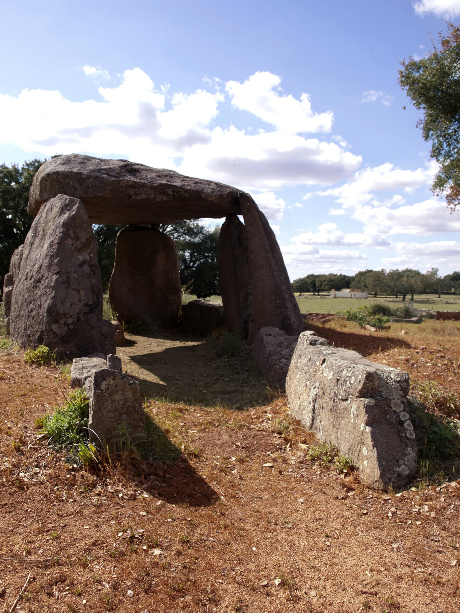
El dolmen de la dehesa de la Lapita se encuentra cerca de la carretera BA-026, a unos cuatro kilómetros al noroeste de Barcarrota, en la provincia de Badajoz, en Extremadura (España).
Dolmen

El dolmen El Milano (también llamado de las Cercas del Milano) se encuentra a unos 5 kilómetros al sudoeste de Barcarrota, cerca de Badajoz en Extremadura (España).
Dolmen

El Castillo de Barcarrota o Castillo de las siete torres, es una fortaleza del periodo de la Reconquista, al igual que la población, si bien pasó a manos de la Orden de Alcántara en último tercio del siglo XV.
Castillo

La Plaza de toros de Barcarrota se encuentra en la localidad de Barcarrota (Badajoz) , cuenta con un aforo de 5.000 localidades y está catalogada como plaza de tercera categoría.
Plaza de toros

Yacimiento
Yacimiento
Yacimiento
Yacimiento
Iglesia
Ermita
Molino
Monuments from Wikidata; summaries from Wikipedia (CC BY-SA) and photos from Wikimedia Commons, credited to their authors.
2 plans to experience Barcarrota on the move, not just passing through.
2 activities
Places and plans from OpenStreetMap (ODbL): what is mapped within the municipal boundary, by name. If something is missing, it can be added there and will appear here in the next update.
Routes shared by hikers and waymarked trails, with their map and elevation profile.
What there really is in the village and around it, with distances. If an activity isn't on this list, we haven't found it nearby.

