 jordi domènech · CC BY-SA 3.0
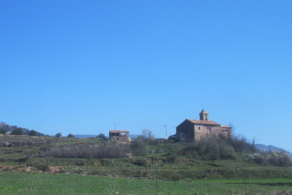
Mountain hamlet
Capolat is a municipality in the comarca of Berguedà, Catalonia, Spain.
The geography is mountainous, reaching 1500 meters about sea level. The population has always been sparsely settled due to the topography. As in much of the rest of the region, the population peaked in the nineteenth century, and since then has gradually declined.
Text from Wikipedia (CC BY-SA)
Keep exploring
17 places to explore Capolat at your own pace. Each number matches its point on the map.

Tell me how much time you have and what you like, and I'll put the places in Capolat in order so you don't go back and forth.
Tap “+ Add to my route” on the places you want to see. We'll split what you can do on foot from what's better by car.
Masía de estilo popular, del siglo XVII.
MasíaBien cultural parte del patrimonio cultural de Cataluña

Iglesia de estilo popular.
IglesiaBien cultural parte del patrimonio cultural de Cataluña

Molino hidráulico de estilo popular, del siglo XVIII.
Molino hidráulicoBien cultural parte del patrimonio cultural de Cataluña

Iglesia de estilo románica.
IglesiaBien Cultural de Interés Local

Iglesia de estilo barroca.
IglesiaBien cultural parte del patrimonio cultural de Cataluña

Iglesia de estilo popular, del siglo XIX.
IglesiaBien cultural parte del patrimonio cultural de Cataluña

Iglesia de estilo románica.
IglesiaBien cultural parte del patrimonio cultural de Cataluña

Iglesia de estilo popular.
IglesiaBien Cultural de Interés Local

Masía de estilo popular.
MasíaBien cultural parte del patrimonio cultural de Cataluña

Masía de estilo popular, del siglo XVIII.
MasíaBien cultural parte del patrimonio cultural de Cataluña

Iglesia de estilo arte prerrománico.
IglesiaBien cultural parte del patrimonio cultural de Cataluña
Cascada
Cascada
Cascada
Cueva
Mirador
Cueva
Monuments from Wikidata; summaries from Wikipedia (CC BY-SA) and photos from Wikimedia Commons, credited to their authors.
3 plans to experience Capolat on the move, not just passing through.
1 activity
2 activities
Places and plans from OpenStreetMap (ODbL): what is mapped within the municipal boundary, by name. If something is missing, it can be added there and will appear here in the next update.
What there really is in the village and around it, with distances. If an activity isn't on this list, we haven't found it nearby.

