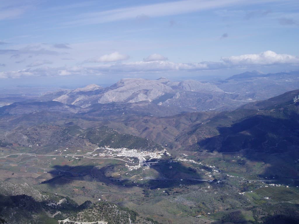
 Por los caminos de Málaga · CC BY 2.0
Village
Carratraca is a town and municipality in the province of Málaga, part of the autonomous community of Andalusia in southern Spain. The municipality is situated approximately 56 km from Ronda and from the provincial capital of Málaga. It is located between the northeastern foothills of the Serrania de Ronda. It has a population of approximately 850 residents.
It is one of the northern gates to the Guadalhorce Valley and border territory between these two comarcas and that of Antequera, which connects with Ardales. The landscape has very steep slopes in the Sierras of Alcaparín and is milder in the Sierras of Baños and Aguas, covered with pine trees and scrub pine and the occasional olive grove where the terrain permits. In the valley that runs through the town from north to south, and through which flows the stream of las Cañas, the field contains orchards on the banks of the streams and cereal crops and olive groves between them and the beginning of the mountains. Within the town of Carratraca, the architectural ensemble is shaped by the house of Doña Trinidad Grund, turned into the City Hall, and the tower next to said house. The terraces of these buildings offer views of the surroundings.
Near the stream of Pinos in the Sierra de Alcaparaín and a chasm 40 metres deep, a Neolithic burial, like a paint schematic of cruciform type and pottery with incised decoration has located.
The strategic location of this land, between two towns with rich history, such as Álora and Ardales, favored the presence of man in it since ancient times.
Text from Wikipedia (CC BY-SA)

Foto: Mike Finn from Worcester, United Kingdom (CC BY 2.0)
20 places to stay in Carratraca
See places to stay5 restaurants in Carratraca
See where to eat1 experience in Carratraca
See experiencesEverything you need for your visit or your day-to-day
Tap a row to see it on the map and how far away it is.
Parks, beaches and places to stay that OpenStreetMap marks as dog-friendly. Many places allow dogs without it being marked: ask when you book.
No data on: tourist office, train station, petrol stations, post office, EV chargers, motorhomes, car parks, street market, nursery school, primary school, secondary school, pool, care home.
Data from OpenStreetMap (ODbL), extract from October 2026: we count what is mapped within the municipal boundary. "No data" means OpenStreetMap doesn't have it, not that it doesn't exist. Town hall contact details: General Database of Local Entities (Spanish Ministry of Finance); tourist offices: each region's open registry, where it publishes one. Connectivity: Spanish Ministry for Digital Transformation, % of homes covered in June 2025.
Municipal information, services, procedures and grants.
Keep exploring


