 Por los caminos de Málaga · CC BY 2.0
Village
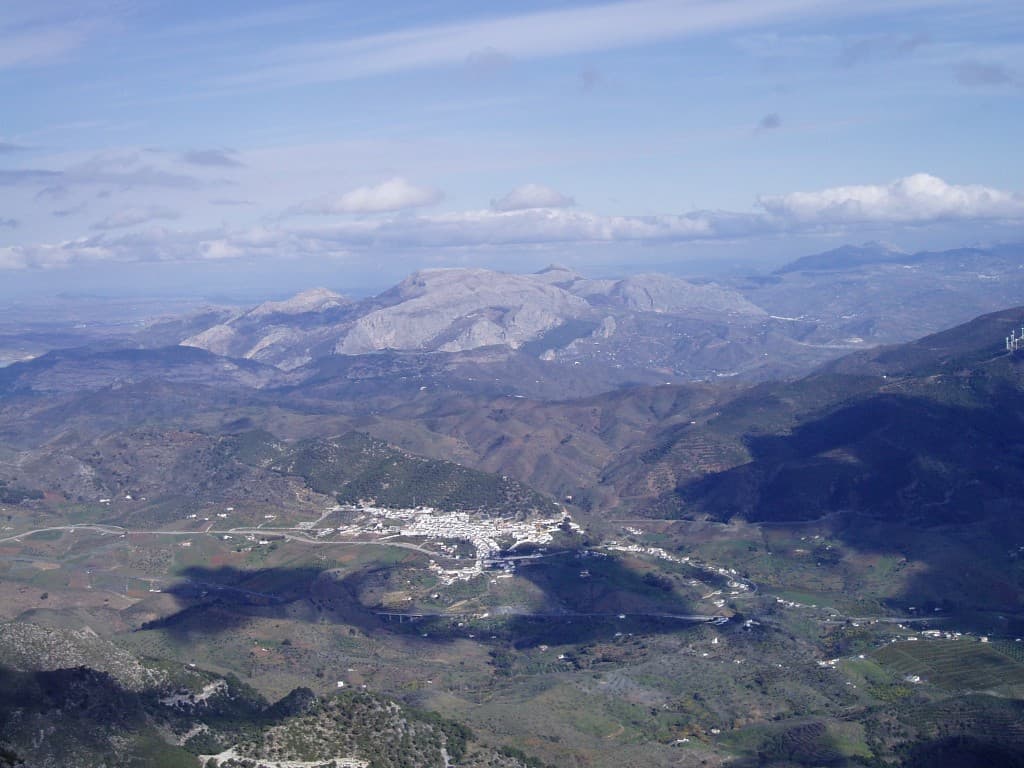
Carratraca is a town and municipality in the province of Málaga, part of the autonomous community of Andalusia in southern Spain. The municipality is situated approximately 56 km from Ronda and from the provincial capital of Málaga. It is located between the northeastern foothills of the Serrania de Ronda. It has a population of approximately 850 residents.
It is one of the northern gates to the Guadalhorce Valley and border territory between these two comarcas and that of Antequera, which connects with Ardales. The landscape has very steep slopes in the Sierras of Alcaparín and is milder in the Sierras of Baños and Aguas, covered with pine trees and scrub pine and the occasional olive grove where the terrain permits. In the valley that runs through the town from north to south, and through which flows the stream of las Cañas, the field contains orchards on the banks of the streams and cereal crops and olive groves between them and the beginning of the mountains. Within the town of Carratraca, the architectural ensemble is shaped by the house of Doña Trinidad Grund, turned into the City Hall, and the tower next to said house. The terraces of these buildings offer views of the surroundings.
Near the stream of Pinos in the Sierra de Alcaparaín and a chasm 40 metres deep, a Neolithic burial, like a paint schematic of cruciform type and pottery with incised decoration has located.
The strategic location of this land, between two towns with rich history, such as Álora and Ardales, favored the presence of man in it since ancient times.
Text from Wikipedia (CC BY-SA)

Keep exploring
2 places to explore Carratraca at your own pace. Each number matches its point on the map.

Tell me how much time you have and what you like, and I'll put the places in Carratraca in order so you don't go back and forth.
Tap “+ Add to my route” on the places you want to see. We'll split what you can do on foot from what's better by car.
El balneario de Carratraca es un símbolo del municipio de Carratraca (provincia de Málaga, Andalucía, España) y un elemento clave de su Conjunto histórico.
BalnearioBien de interés cultural

El conjunto histórico de Carratraca es un bien de interés cultural declarado en 2004 y situado en el municipio de Carratraca, en la provincia de Málaga, comunidad autónoma de Andalucía, España.
Conjunto históricoBien de interés cultural

Monuments from Wikidata; summaries from Wikipedia (CC BY-SA) and photos from Wikimedia Commons, credited to their authors.
One plan to experience Carratraca on the move, not just passing through.
1 activity
Places and plans from OpenStreetMap (ODbL): what is mapped within the municipal boundary, by name. If something is missing, it can be added there and will appear here in the next update.
What there really is in the village and around it, with distances. If an activity isn't on this list, we haven't found it nearby.

