 Wikimedia Commons · CC BY 3.0 es
Town
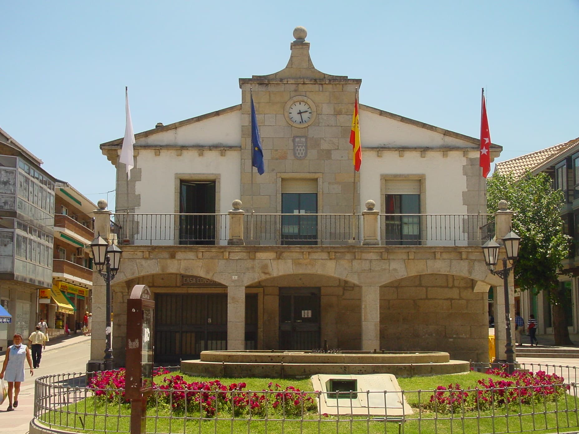
Galapagar is a town and municipality northwest of Madrid, Spain, situated in the autonomous community of the Community of Madrid. Of all the towns in the area, it has experienced the most growth, mostly because of immigration and the development of old livestock fields.
Galapagar borders Collado Villalba, Colmenarejo, Torrelodones, Las Rozas de Madrid, El Escorial, San Lorenzo de El Escorial, Villanueva del Pardillo, Hoyo de Manzanares, Moralzarzal and Guadarrama.
The name Galapagar comes from the Spanish galápago, meaning turtle, as the town centre was sited near a lake full of turtles.
The town first appears as a village in the eleventh century, its importance due to the frequent hunting expeditions by the Spanish royalty, and being a main stop on the road from the capital to the Royal Monastery of San Lorenzo de El Escorial. Sights in the town include the church of The Asunción (Assumption).
Galapagar is served by lines C-3, C-8 and C-10 of the Cercanías Madrid commuter rail service at its Galapagar-La Navata train station; and by 9 lines of the Interurban Bus Service linking it to the Moncloa district of Madrid.
Jacinto Benavente, one of the foremost Spanish dramatists of the 20th century and 1922 laurate of the Nobel Prize in Literature, is buried here.
Bullfighting, stock-breeding, pasturing and beef production are the main activities in Galapagar.
Text from Wikipedia (CC BY-SA)

No places to stay listed yet
See places to stay47 restaurants in Galapagar
See where to eat5 experiences in Galapagar
See experiencesEverything you need for your visit or your day-to-day
Tap a row to see it on the map and how far away it is.
Parks, beaches and places to stay that OpenStreetMap marks as dog-friendly. Many places allow dogs without it being marked: ask when you book.
No data on: tourist office, motorhomes.
Data from OpenStreetMap (ODbL), extract from October 2026: we count what is mapped within the municipal boundary. "No data" means OpenStreetMap doesn't have it, not that it doesn't exist. Completed with Overture Maps (CDLA-Permissive-2.0): the pharmacies, health centres, petrol stations, banks, cash machines, food shops and schools that OpenStreetMap was missing. Town hall contact details: General Database of Local Entities (Spanish Ministry of Finance); tourist offices: each region's open registry, where it publishes one. Connectivity: Spanish Ministry for Digital Transformation, % of homes covered in June 2025.
Municipal information, services, procedures and grants.


