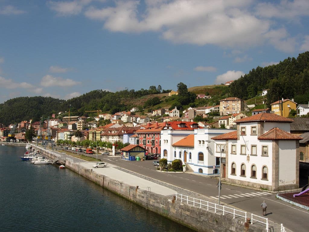
 J L Maral · CC BY-SA 2.0
Coastal village
Muros de Nalón (Asturian: Muros) is a small coastal municipality in the Spanish province of Asturias, with an area of 8.09 square kilometers. It is bounded to the north by the Bay of Biscay, to the east by the river Nalón, to the south by Pravia and the west by Cudillero. The eucalyptus tree is the town tree and occupies great parts of the slopes down to the coast.
There are two parishes (administrative divisions): Muros de Nalón (which is divided in five villages: Ea, Pumariega, Muros, Reborio and Villar) and San Esteban de Pravia.
Two important buildings in the municipality are the Palace of Valdecarzana and Vallehermoso and the Church of Santa María. It is possible to watch a panoramical view of the Asturian coast from the Mirador del Espíritu Santo.
Text from Wikipedia (CC BY-SA)

No places to stay listed yet
See places to stay9 restaurants in Muros de Nalón
See where to eat5 experiences in Muros de Nalón
See experiencesEverything you need for your visit or your day-to-day
Tap a row to see it on the map and how far away it is.
Parks, beaches and places to stay that OpenStreetMap marks as dog-friendly. Many places allow dogs without it being marked: ask when you book.
No data on: tourist office, ATMs, motorhomes, street market, nursery school, secondary school, pool, care home.
Data from OpenStreetMap (ODbL), extract from October 2026: we count what is mapped within the municipal boundary. "No data" means OpenStreetMap doesn't have it, not that it doesn't exist. Completed with Overture Maps (CDLA-Permissive-2.0): the pharmacies, health centres, petrol stations, banks, cash machines, food shops and schools that OpenStreetMap was missing. Town hall contact details: General Database of Local Entities (Spanish Ministry of Finance); tourist offices: each region's open registry, where it publishes one. Connectivity: Spanish Ministry for Digital Transformation, % of homes covered in June 2025.
Municipal information, services, procedures and grants.


