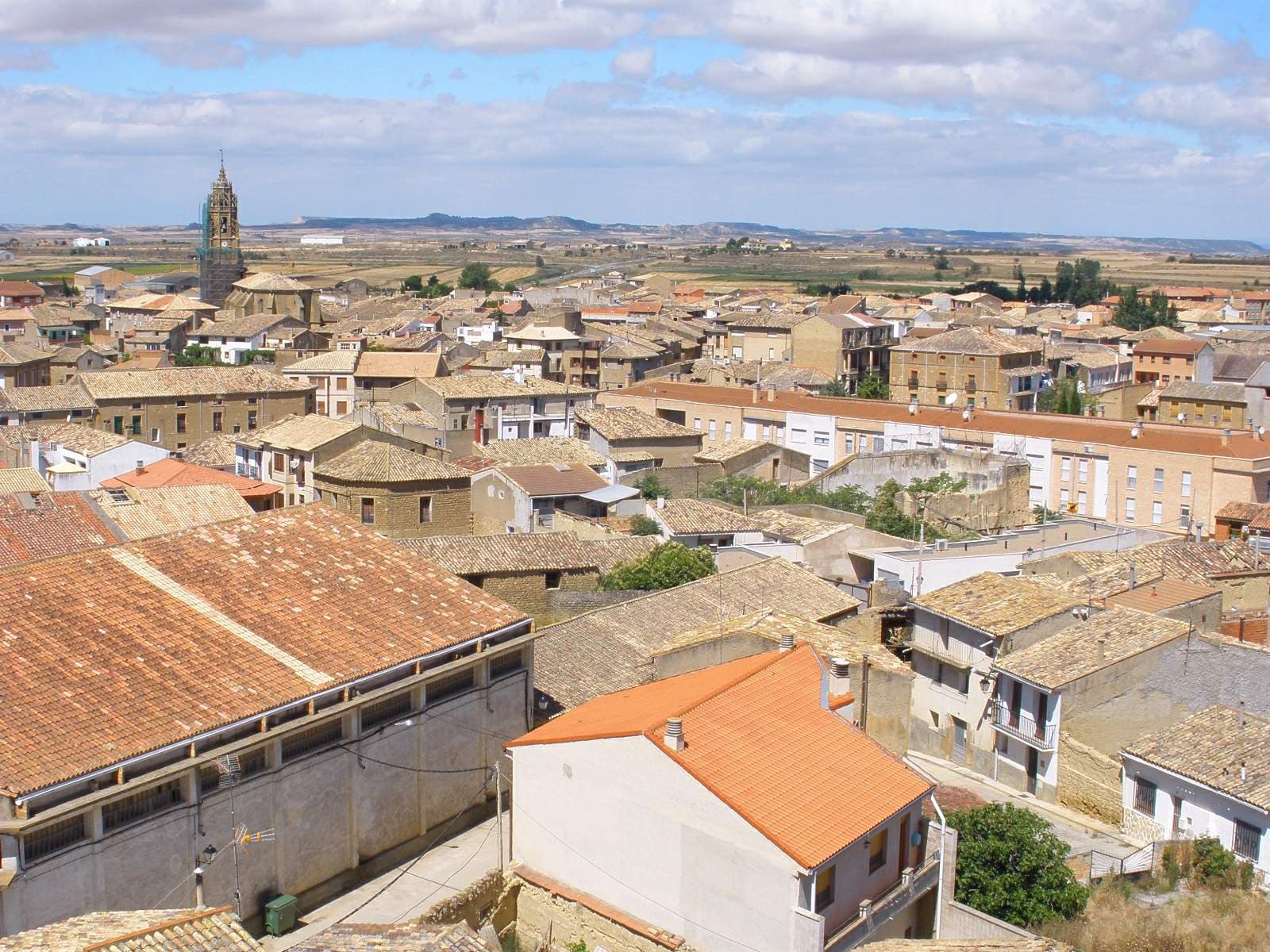
 Zarateman · CC0
Village
Sádaba (in Aragonese: Sadaba) is a municipality located in the province of Zaragoza, Aragon, Spain.
Sights include the ancient Roman Mausoleum of the Atilii and the Sádaba Castle.
Text from Wikipedia (CC BY-SA)

Keep exploring
7 places to explore Sádaba at your own pace. Each number matches its point on the map.

Tell me how much time you have and what you like, and I'll put the places in Sádaba in order so you don't go back and forth.
Tap “+ Add to my route” on the places you want to see. We'll split what you can do on foot from what's better by car.
El castillo de Sádaba es una fortaleza militar ubicada en lo alto de un pequeño cerro rocoso al este de la localidad de Sádaba (Sadaba en aragonés), en la comarca de Cinco Villas, a 90 kilómetros al norte de la ciudad Zaragoza, a 20 kilómetros del municipio de Ejea de los Caballeros y casi 30 km…
CastilloBien de interés cultural

El Mausoleo de los Atilios, también llamado popular y anteriormente el Altar de los Moros, es un mausoleo del siglo II o III d. C., de la época del Bajo Imperio romano, situado en el término municipal de la localidad aragonesa de Sádaba, en España.
Mausoleo romano

La ermita de Puylampa es una ermita que se encuentra situada en el término municipal de Sadaba, en la comarca de Cinco Villas y provincia de Zaragoza (España). Se encuentra fuera del casco urbano, a una distancia de unos 3 km.
Ermita

La Casa parroquial es un edificio del municipio español de Sádaba (Zaragoza) de 1970, obra del arquitecto Santiago Lagunas y declarado Bien Catalogado del Patrimonio Cultural Aragonés.
Casa rectoralBien Catalogado del Patrimonio Cultural Aragonés
MonasterioElemento de la Lista Roja del Patrimonio
El monasterio de Cambrón fue un monasterio femenino cisterciense operativo de 1208 a 1588 en Sádaba, provincia de Zaragoza en España. No debe confundirse con la antigua Abadía cisterciense de Cambrón en Bélgica.
Monasterio en ruinas
Yacimiento
Monuments from Wikidata; summaries from Wikipedia (CC BY-SA) and photos from Wikimedia Commons, credited to their authors.
We're completing the Sádaba guide village by village.
Places and plans from OpenStreetMap (ODbL): what is mapped within the municipal boundary, by name. If something is missing, it can be added there and will appear here in the next update.
Routes shared by hikers and waymarked trails, with their map and elevation profile.
What there really is in the village and around it, with distances. If an activity isn't on this list, we haven't found it nearby.

