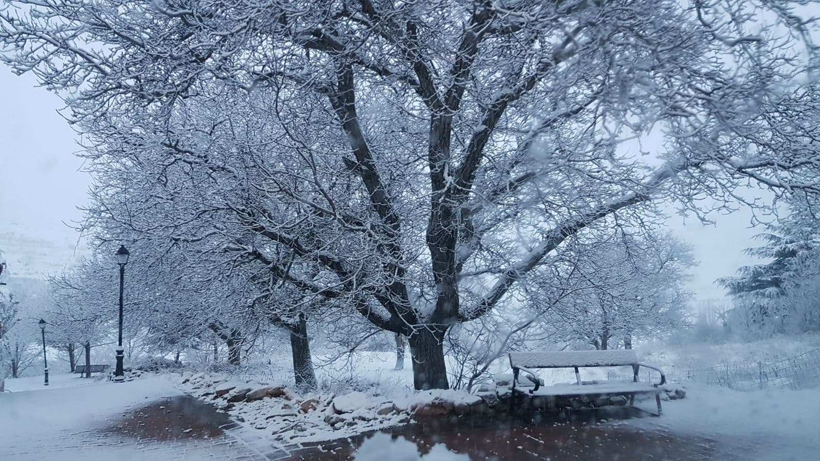
 B25es · CC BY-SA 4.0
Mountain hamlet
Valdemeca is a municipality in the province of Cuenca, in the autonomous community of Castile-La Mancha, Spain.
The municipality has an area is 70 km2 and its climate is continental. The geographical coordinates of Valdemeca are: latitude, 40° 13′59″N; longitude, 1° 43′59″W and altitude, 1387 meters. As of 2003, the municipality had a population of 101 (56 male, 45 female). The density is only 1.4 people/km2. The municipality has lost 13.6% of its population in the last decade (1996-2005).
The mayor of Valdemeca is Mr. Moisés Heras García of the party Izquierda Unida de Castilla-La Mancha. Valdemeca is one of the few municipalities of Spain with "one-man municipal council" (i.e. small municipalities with an elected mayor but no municipal council as such) where Izquierda Unida has succeeded in getting its candidate elected.
In the 2004 Spanish General Election, the Partido Popular got 39 votes (61.9%), the Partido Socialista Obrero Español got 17 (27.0%) and Izquierda Unida de Castilla-La Mancha got 7 (11.1%).
Text from Wikipedia (CC BY-SA)

The essentials for getting around Valdemeca without surprises: how to get there, municipal facts and when it's most worth coming.
Coordinates: 40.2237° N, 1.7411° O
By bus: check the regional bus timetables, they change by season. If you come without a car, confirm the last service back before you leave.
We only list verified numbers. The town hall itself will give you the number of the clinic or the pharmacy.
There are no events in Valdemeca's calendar yet, so any month works. Ask us about the local festivals: almost every village has one.
Spring
Thaw and green fields. Some mountain access can stay tricky until May.
Summer
Long days and cool nights. The best time for hikes.
Autumn
Forests at their best and far fewer people.
Winter
Serious winter at this altitude: snow likely and chains in the car. Check the state of the roads before heading up.
Keep exploring

