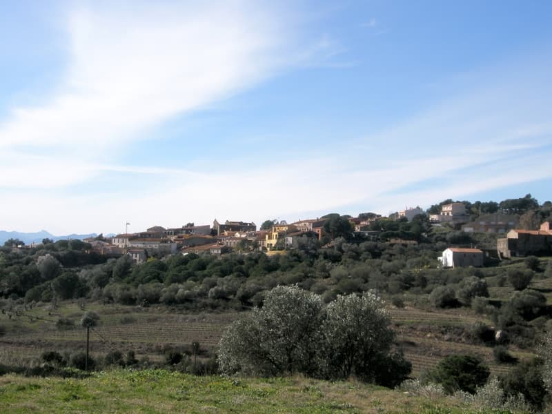
 ROCGIL Roc de Gil · CC BY-SA 3.0
Village
Vilamaniscle is a municipality in the comarca of Alt Empordà, Girona, Catalonia, Spain. It is located in the western part of the Serra de la Baga d'en Ferràn, a branch of the Albera Range. Much of its municipal term is covered with pine and cork oak trees. The main crops are olives and grapes. Local wine is appreciated all over the country. New hosting services are growing due to tourism.
Vilamaniscle is the home for around 120 inhabitants today. The village is a varied picture of some restored homes, other in the process of restoration and still others that wait for their renovation. The majority of the houses were built between the 17th and 19th century. Vilamaniscle is dominated by the "Castell", a three-level unrestored building whose origin is difficult to date. In the prehistoric time people probably lived here, the evidence being the three-metres-high menhir "Pedra Dreta" which is very close to Vilamaniscle.
Text from Wikipedia (CC BY-SA)

Keep exploring
5 places to explore Vilamaniscle at your own pace. Each number matches its point on the map.

Tell me how much time you have and what you like, and I'll put the places in Vilamaniscle in order so you don't go back and forth.
Tap “+ Add to my route” on the places you want to see. We'll split what you can do on foot from what's better by car.
Casa de estilo popular, del siglo XVII.
CasaBien de interés cultural

Casa de estilo popular, del siglo XIX.
CasaBien cultural parte del patrimonio cultural de Cataluña

Casa de estilo popular, del siglo XX.
CasaBien cultural parte del patrimonio cultural de Cataluña

Iglesia de estilo popular.
IglesiaBien cultural parte del patrimonio cultural de Cataluña

Pasaje de estilo popular, del siglo XIX.
PasajeBien cultural parte del patrimonio cultural de Cataluña

Monuments from Wikidata; summaries from Wikipedia (CC BY-SA) and photos from Wikimedia Commons, credited to their authors.
3 plans to experience Vilamaniscle on the move, not just passing through.
2 activities
1 activity
Places and plans from OpenStreetMap (ODbL): what is mapped within the municipal boundary, by name. If something is missing, it can be added there and will appear here in the next update.
What there really is in the village and around it, with distances. If an activity isn't on this list, we haven't found it nearby.

