 Wikimedia Commons · CC BY-SA 3.0
Town
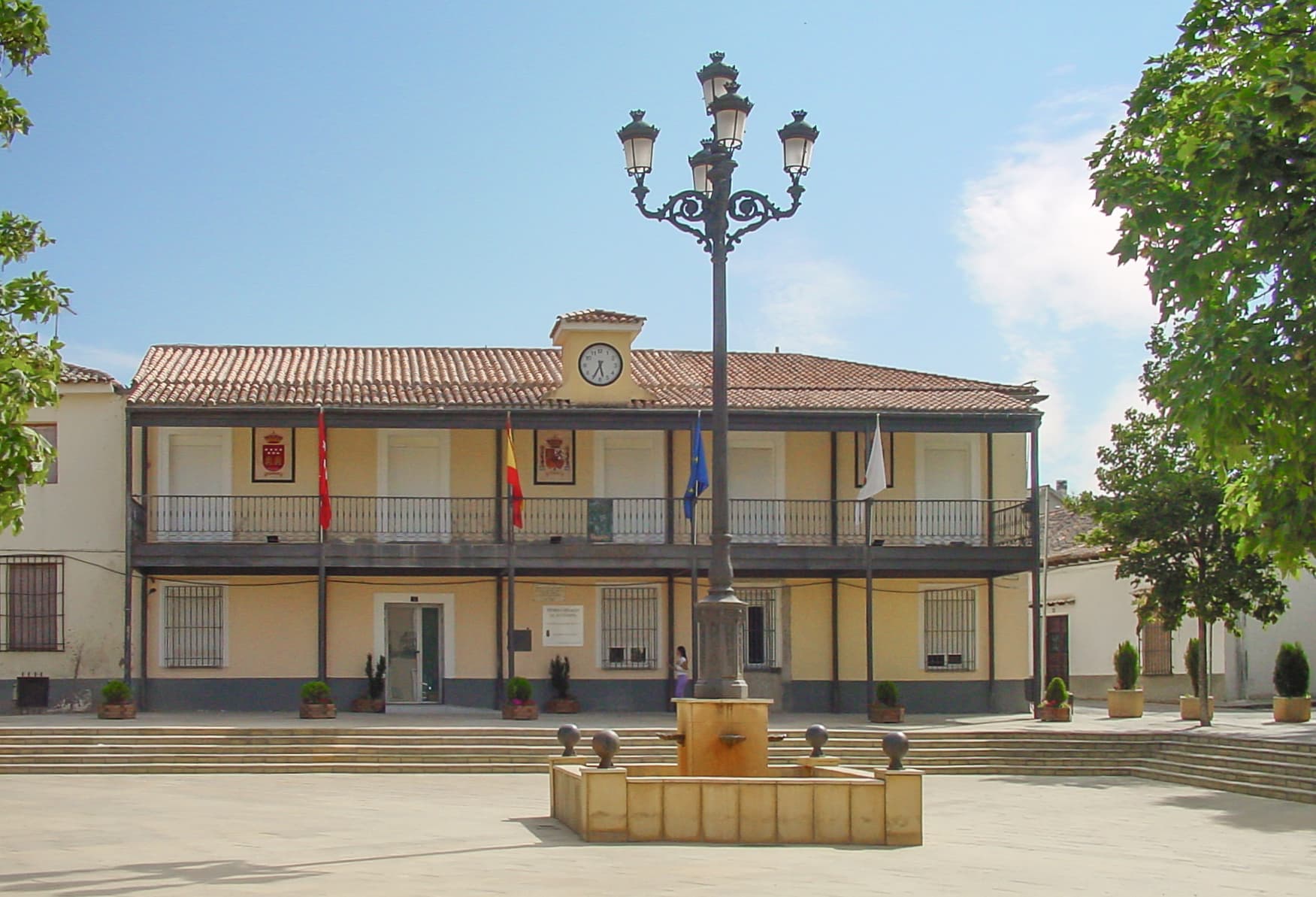
Daganzo de Arriba is a Spanish municipality in the Comarca de Alcalá, located in the north-east of Autonomous Community of Madrid. It has a population of about 9,000 (including the residents of the permanent camping that is in the town), of which are mostly young families, in more recent times people have been purchasing homes in the new housing subdivisions that are being built and residing within those new neighborhoods.
It is 27 km to the east-northeast of Madrid and 11 km to the north of Alcalá de Henares. It has an altitude of 673 meters above sea level and has a municipal area of 4,325 hectares.
The village is surrounded by small hills. From north to south, the river Torote runs through the village, in whose margins was located the first settlement of this town, in the same place where the church of Nuestra Señora del Espino is, and stream Valseco.
There are two industrial parks which collectively employ about 1,800 workers, of which 800 are residents of the town. The rest come from other nearby municipalities.
It has an important agriculture according to the area of the municipality, which is quite extensive and of acceptable quality.
The climate that dominates the area is characterized by very high summer temperatures and low winter temperatures. Rainfall in summer is almost zero and medium in periods of autumn and winter, therefore is unevenly distributed throughout the year. The average annual temperature is 14.5 °C with temperatures ranging from 27 °C in summer to 5 °C in winter.
Text from Wikipedia (CC BY-SA)

4 places to stay in Daganzo de Arriba
See places to stay16 restaurants in Daganzo de Arriba
See where to eat1 experience in Daganzo de Arriba
See experiencesEverything you need for your visit or your day-to-day
Tap a row to see it on the map and how far away it is.
Parks, beaches and places to stay that OpenStreetMap marks as dog-friendly. Many places allow dogs without it being marked: ask when you book.
No data on: tourist office, train station, post office, EV chargers, street market, primary school, care home.
Data from OpenStreetMap (ODbL), extract from October 2026: we count what is mapped within the municipal boundary. "No data" means OpenStreetMap doesn't have it, not that it doesn't exist. Completed with Overture Maps (CDLA-Permissive-2.0): the pharmacies, health centres, petrol stations, banks, cash machines, food shops and schools that OpenStreetMap was missing. Town hall contact details: General Database of Local Entities (Spanish Ministry of Finance); tourist offices: each region's open registry, where it publishes one. Connectivity: Spanish Ministry for Digital Transformation, % of homes covered in June 2025.
Municipal information, services, procedures and grants.
Keep exploring


