 Wikimedia Commons · CC BY-SA 3.0
Town
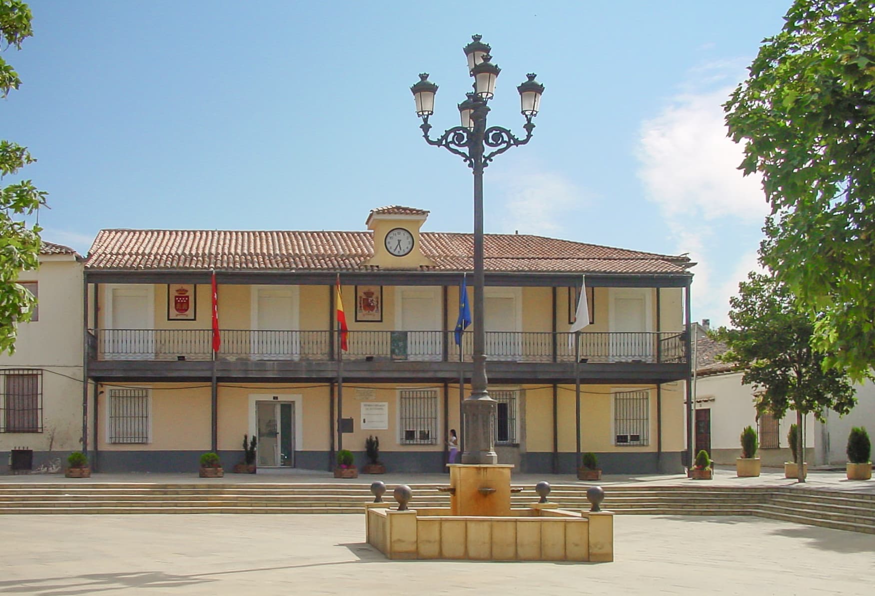
Daganzo de Arriba is a Spanish municipality in the Comarca de Alcalá, located in the north-east of Autonomous Community of Madrid. It has a population of about 9,000 (including the residents of the permanent camping that is in the town), of which are mostly young families, in more recent times people have been purchasing homes in the new housing subdivisions that are being built and residing within those new neighborhoods.
It is 27 km to the east-northeast of Madrid and 11 km to the north of Alcalá de Henares. It has an altitude of 673 meters above sea level and has a municipal area of 4,325 hectares.
The village is surrounded by small hills. From north to south, the river Torote runs through the village, in whose margins was located the first settlement of this town, in the same place where the church of Nuestra Señora del Espino is, and stream Valseco.
There are two industrial parks which collectively employ about 1,800 workers, of which 800 are residents of the town. The rest come from other nearby municipalities.
It has an important agriculture according to the area of the municipality, which is quite extensive and of acceptable quality.
The climate that dominates the area is characterized by very high summer temperatures and low winter temperatures. Rainfall in summer is almost zero and medium in periods of autumn and winter, therefore is unevenly distributed throughout the year. The average annual temperature is 14.5 °C with temperatures ranging from 27 °C in summer to 5 °C in winter.
Text from Wikipedia (CC BY-SA)

Keep exploring
2 places to explore Daganzo de Arriba at your own pace. Each number matches its point on the map.

Tell me how much time you have and what you like, and I'll put the places in Daganzo de Arriba in order so you don't go back and forth.
Tap “+ Add to my route” on the places you want to see. We'll split what you can do on foot from what's better by car.
Iglesia
Ermita
One plan to experience Daganzo de Arriba on the move, not just passing through.
1 activity
Places and plans from OpenStreetMap (ODbL): what is mapped within the municipal boundary, by name. If something is missing, it can be added there and will appear here in the next update.
What there really is in the village and around it, with distances. If an activity isn't on this list, we haven't found it nearby.

