 Juan José Mercado Gavilán · CC BY-SA 4.0
Village
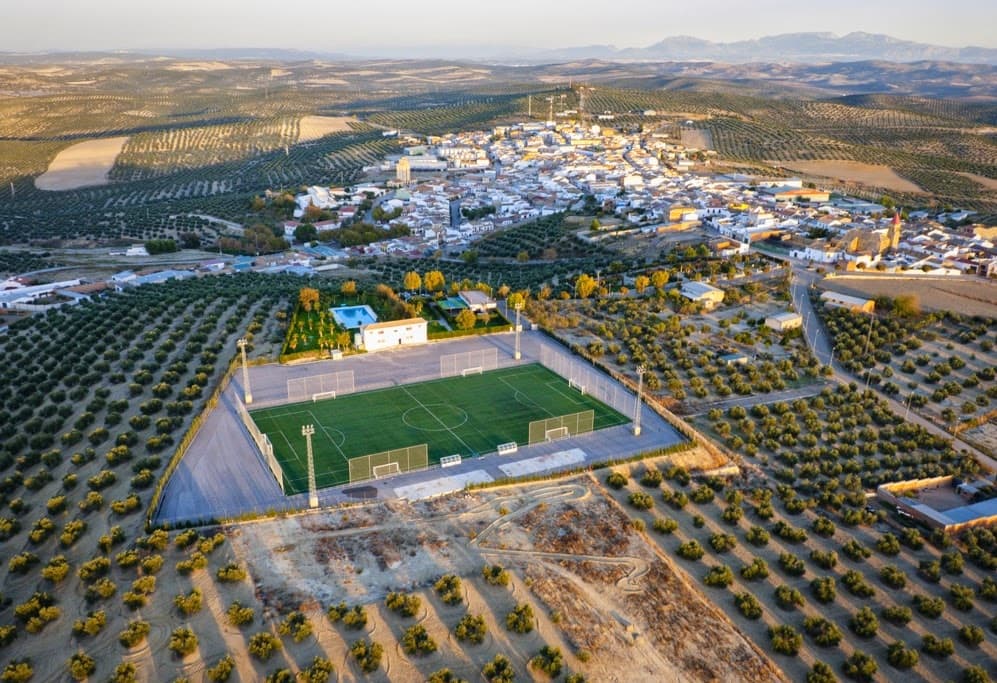
La higuera is a Spanish town and municipality located in the southern part of the region of La Campiña Jienense, in the province of Jaén, autonomous community of Andalusia. It borders the municipalities of Villanueva de la Reina, Andújar, Arjona, Torredelcampo and Fuerte del Rey. The River Salado de Arjona flows through the municipality.
The municipality of Higuerense includes the population centre of Lahiguera - the municipal capital - and the outlying areas of Bobadilla, Cajeros, El Caño, Donadío Alto, Manolico Encinas, La Paz, La Presa, Perales, San José and Silvente.
In 2021 it had 1638 inhabitants (INE). Until 1995 this locality was called Higuera de Arjona.
Text from Wikipedia (CC BY-SA)

The essentials for getting around Lahiguera without surprises: how to get there, municipal facts and when it's most worth coming.
Coordinates: 37.9705° N, 3.9892° O
By bus: check the regional bus timetables, they change by season. If you come without a car, confirm the last service back before you leave.
We only list verified numbers. The town hall itself will give you the number of the clinic or the pharmacy.
There are no events in Lahiguera's calendar yet, so any month works. Ask us about the local festivals: almost every village has one.
Spring
Fields in bloom and good walking temperatures.
Summer
Hot at midday; festivals tend to cluster in these months.
Autumn
Golden light, mushroom season and fewer visitors.
Winter
Cold and short days. Life gathers in the bar and the square.
Keep exploring

