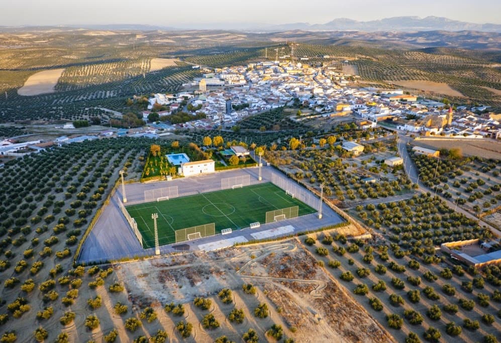
 Juan José Mercado Gavilán · CC BY-SA 4.0
Village
La higuera is a Spanish town and municipality located in the southern part of the region of La Campiña Jienense, in the province of Jaén, autonomous community of Andalusia. It borders the municipalities of Villanueva de la Reina, Andújar, Arjona, Torredelcampo and Fuerte del Rey. The River Salado de Arjona flows through the municipality.
The municipality of Higuerense includes the population centre of Lahiguera - the municipal capital - and the outlying areas of Bobadilla, Cajeros, El Caño, Donadío Alto, Manolico Encinas, La Paz, La Presa, Perales, San José and Silvente.
In 2021 it had 1638 inhabitants (INE). Until 1995 this locality was called Higuera de Arjona.
Text from Wikipedia (CC BY-SA)

Keep exploring
5 places to explore Lahiguera at your own pace. Each number matches its point on the map.

Tell me how much time you have and what you like, and I'll put the places in Lahiguera in order so you don't go back and forth.
Tap “+ Add to my route” on the places you want to see. We'll split what you can do on foot from what's better by car.
El torreón de la Tercia se encuentra en la localidad de Lahiguera, provincia de Jaén.
CastilloBien de interés cultural

Iglesia
Mirador
Ruinas
Ruinas
Monuments from Wikidata; summaries from Wikipedia (CC BY-SA) and photos from Wikimedia Commons, credited to their authors.
One plan to experience Lahiguera on the move, not just passing through.
1 activity
Places and plans from OpenStreetMap (ODbL): what is mapped within the municipal boundary, by name. If something is missing, it can be added there and will appear here in the next update.
Routes shared by hikers and waymarked trails, with their map and elevation profile.

