 Joherg · CC BY-SA 4.0
Mountain village
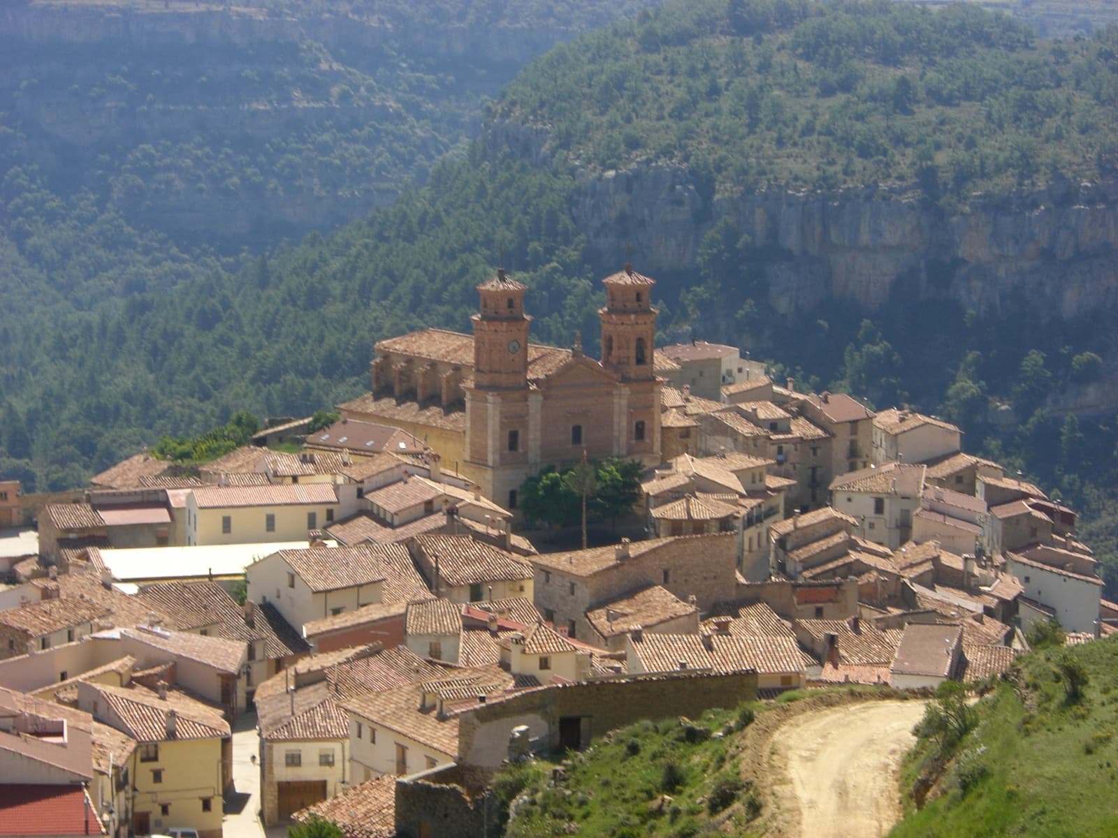
Villarluengo is a municipality at the heart of the mountainous Maestrazgo comarca, province of Teruel, Aragon, Spain. According to the 2010 census the municipality has a population of 188 inhabitants.
Villarluengo is located on top of a spectacular rocky outcrop at the edge of a deep canyon, at the confluence of the Palomita and Cañada rivers. The town is surrounded by mountains, the Sierra de Garrocha, Sierra Carrascosa and Sierra de la Cañada mountain ranges, as well as the Muela Mujer and Muela Mochén mesa type mountains.
The municipal term includes the Las Fábricas abandoned mills and the small village of Montoro de Mezquita.
Text from Wikipedia (CC BY-SA)
The essentials for getting around Villarluengo without surprises: how to get there, municipal facts and when it's most worth coming.
Coordinates: 40.6483° N, 0.5297° O
By bus: check the regional bus timetables, they change by season. If you come without a car, confirm the last service back before you leave.
We only list verified numbers. The town hall itself will give you the number of the clinic or the pharmacy.
There are no events in Villarluengo's calendar yet, so any month works. Ask us about the local festivals: almost every village has one.
Spring
Thaw and green fields. Some mountain access can stay tricky until May.
Summer
Long days and cool nights. The best time for hikes.
Autumn
Forests at their best and far fewer people.
Winter
Serious winter at this altitude: snow likely and chains in the car. Check the state of the roads before heading up.
Keep exploring

