 Zarateman · CC0
Coastal town
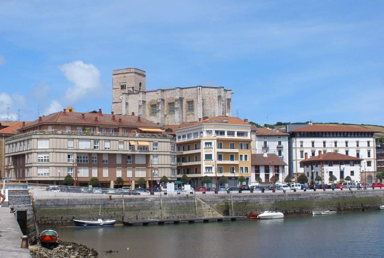
Zumaia is a small town in the north of Spain in the Basque Country.
The town has two beaches (Itzurun and Santiago), which are of interest to geologists because they are situated among the longest set of continuous rock strata in the world. These formations are termed flysch and they date from the mid-cretaceous period to the present, a time period of over 100 million years. The K–T boundary is present at the Itzurun beach, and fossils can be found, notably of ammonites. The strata stretches along a distance of about 8 km, between the beaches of Deba and Getaria, with Zumaia lying in the middle.
The town is also the home-turned-museum of the painter Ignacio Zuloaga. Exhibits include works by El Greco, Rivera, Zurbarán and Goya. Across the street there is a museum of craft and hand-crafted products of Laia. Within the city centre, the Basque-style Gothic church of San Pedro can be found. It has a temple with a magnificent reredos by Juan de Antxieta, the only work by this Basque sculptor found in Gipuzkoa.
Zumaia is located at the point where the Urola and Narrondo rivers come together. The origins of the town can be traced by its ancient monastery. In the Middle Ages, the people who lived in the Sehatz valley having to endure the continuous attacks of pirates and pillagers, fortified the city. The church today retains the relic of its defensive appearance.
Text from Wikipedia (CC BY-SA)

The essentials for getting around Zumaia without surprises: how to get there, municipal facts and when it's most worth coming.
Coordinates: 43.2973° N, 2.2568° O
By bus: check the regional bus timetables, they change by season. If you come without a car, confirm the last service back before you leave.
We only list verified numbers. The town hall itself will give you the number of the clinic or the pharmacy.
There are no events in Zumaia's calendar yet, so any month works. Ask us about the local festivals: almost every village has one.
Spring
Mild temperatures and the village still quiet.
Summer
Busy summers: book accommodation in advance.
Autumn
Water still warm, lower prices and calm.
Winter
Mild but quiet winter: some businesses slow down.
Keep exploring

